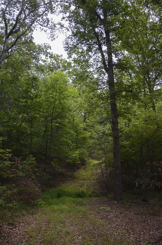
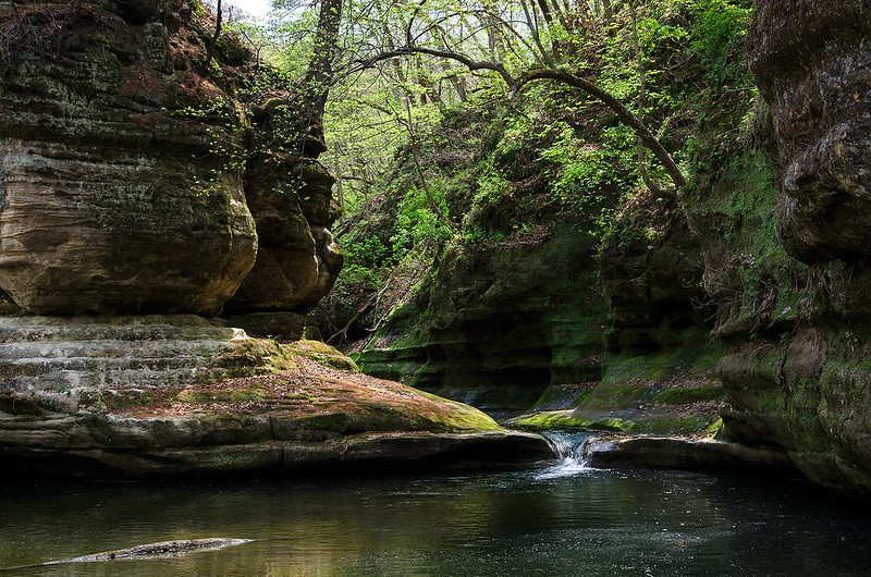
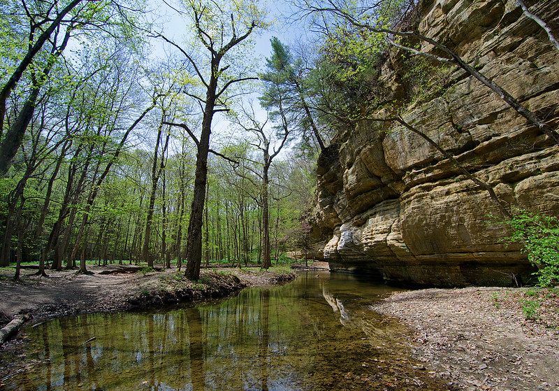
Set aside in 2006, this 1500 acre reserve in Bullitt County, Kentucky gives visitors a chance to see these wooded knobs from ground to ridge. Four interconnecting trails totalling a bit over 6.5 miles meander up and down the knobs, allowing visitors to view most of the forest. The trails seem to be former logging roads, about 8 feet wide and packed down where tires once rolled. They are, at times, covered in knee-high groundcover, but well defined for the most part, with the exception of a few places that had us guessing the correct route.
The difficulty was mostly moderate as the trails headed up and down the landscape, but strenuous at times depending upon the rise in elevation - especially reaching the top of the knobs at the end of the 2.5 mile long trail.
Our day began at 4 am, when Chris and I headed to the car while everyone else slept. We drove the easy 25 miles to the tiny gravel parking lot about 100 feet off of Crooked Creek Road. Unsure at first, I passed it up, but later found that we had to drive through Crooked Creek to get to the parking lot. On this day the creek was dry, allowing us easy access to the parking lot.
Ready for our battle with insects, we brought along plenty of deet, long sleeves and long pants, and a roll of black duct tape. Not wanting to deal with ticks, I taped the bottoms of our pants to our boots to prevent ticks from crawling up onto our legs. (a much better option than tucking the pants into socks as most hiking websites suggest) I also taped my pockets to prevent my car keys from slipping out during the hike. The tape worked very well in both cases, especially with the ticks, we each had only one tick on the outside of our jeans on the entire 6 mile hike. Spiders, however, were plentiful - very plentiful, and attached themselves to my shirt and head dozens of times during the hike, as I broke through their large webs.
As we set out, the sun had not risen, yet a bit of light was evident in the sky, allowing us to see the trails well enough in the thick woods. One only two occasions we questioned the route. Generally well marked with colored diamond labels on select trees, the trails intersected at times, making us stop and search for the correct trail. And what we thought was the end of the orange trail, was only a turn up to the top of the knob - a steep ascent with no apparent trail markings or flattened foliage. Our best guess turned out correct as we spotted a few orange diamonds on trees ahead of us.
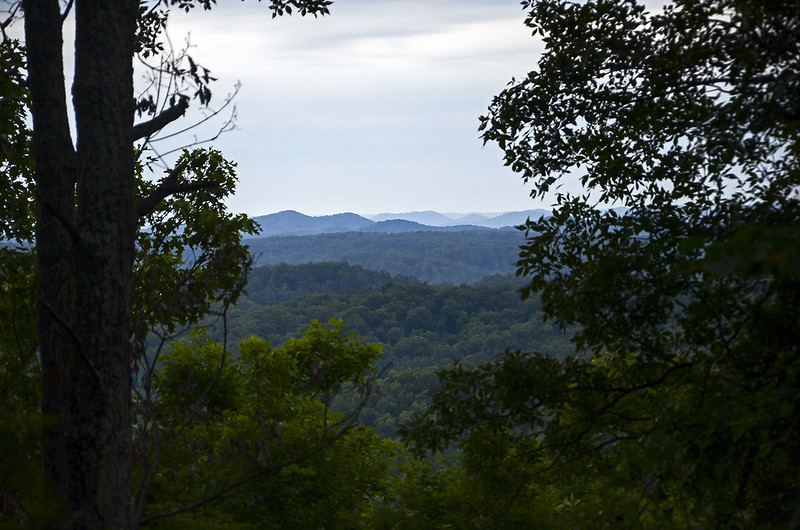
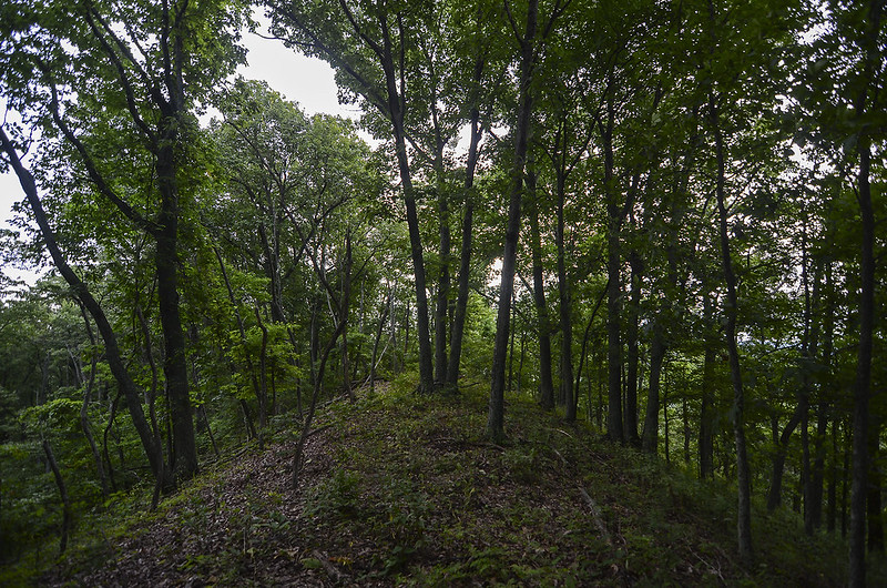
Well worth the strenuous climb to the top of the knob (at 941 feet), we were rewarded with an interesting landscape as well as a few small spots offering excellent views of the rolling countryside. I can only imagine how the view is during the winter and early spring before the leaves fill the trees.
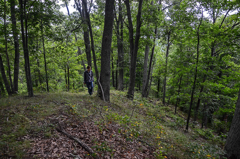
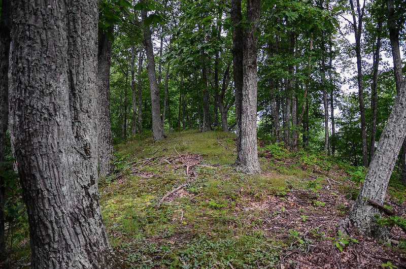
Disappointed we weren't able to stay longer, we soaked in the views, and the unusual silence of this place. What amazed me is the quiet we experienced with I-65 only a mile or two away; we heard absolutely nothing. Of particular interest was the narrow ridge of the knob. The trees seemed to lean away from the top, giving us the feeling we were walking on top of the forest.
For a few seconds, we lost the way down to the trail from the ridge. This portion of the trail had no matted down or worn down areas, so it blended in perfectly with the rest of the forest floor. We knew the only view we had was on our left as we climbed, so we proceeded to slide down the hillside with the view to our right. Sure enough, we spotted the orange diamond on a tree behind us, and a few minutes later, we connected back at the well defined portion of the trail. Our walk back was at a faster rate, but a bit strenuous in spots, probably due to the climb previous.
It was certainly worth waking up early to walk through this part of Kentucky, a part that most visitors don't see, and a part that I finally experienced after years of wonder. Back to the hotel to celebrate with an ice cold Ale 8 1, a soda manufactured in Kentucky since 1926.

