Rocky Beach at Sunset

Rocky Beach at Sunset

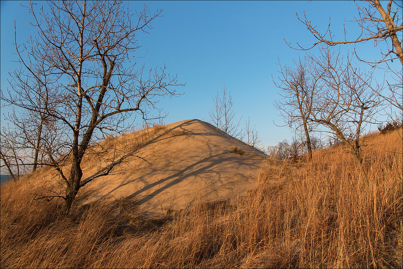
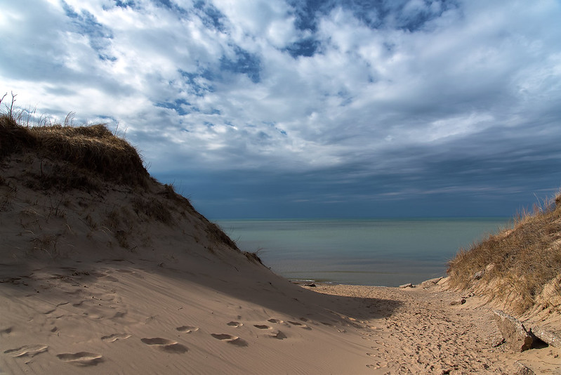
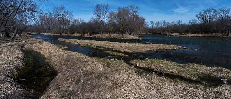
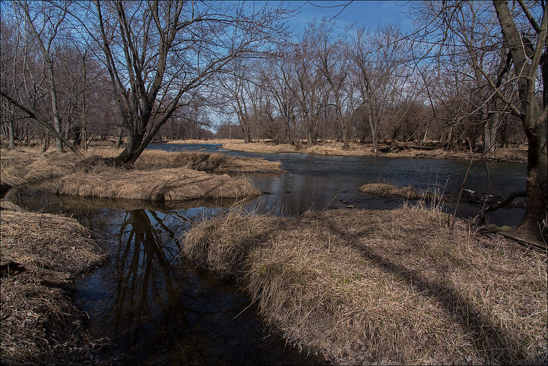
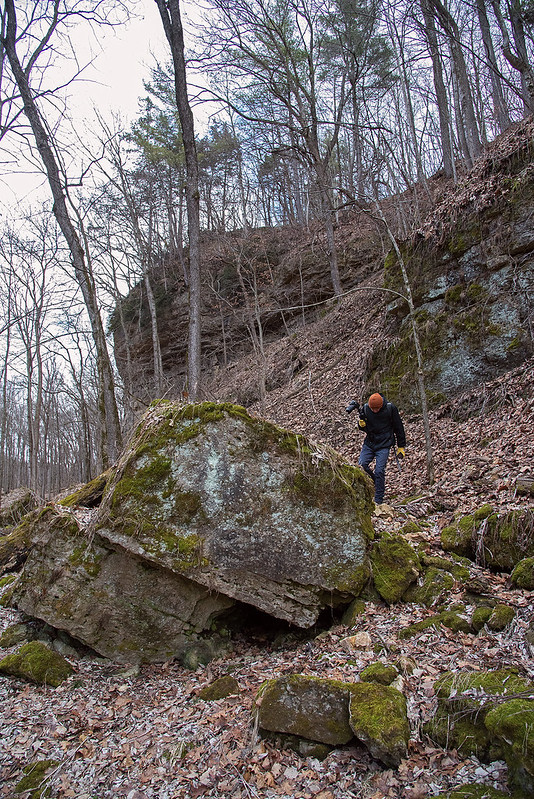
Following a long hike up, over, around, and down some dunes, we spent the final hour of daylight on the rocky shore of Lake Michigan. Depending upon the wind and waves, the beach can be sandy and soft, or filled with stones and rocks with little or no sand.  Rocky days are great for fossil hunting; we often find fossils of some sort or another.  In fact, evey time I've been to Central Beach or Mt. Baldy (when there is no snow) I've found a fossil crinoid - every time.

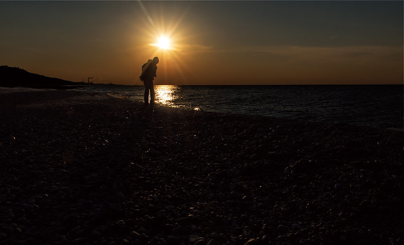
Setting the aperture on the camera to a high F stop, not only eliminated a lot of bright light from the image, it also created somewhat of a starburst out of the setting sun. Something you don't want to do when the sun is high in the sky or very bright, you can damage your camera's sensor with such bright light.

As summer approaches, the sun will appear to migrate directly over Lake Michigan, and for a time, right behind the Chicago skyline.  I'm looking forward to that.

Evening at the Dunes

Young Dune

A week before winter weather returned to Northwestern Indiana, it felt more like late spring, as the setting sun illuminated the dry, dormant Marram grass with a warm amber light. I generally hike the dunes in morning, so it was a treat to see them during the golden hour.

This young dune was at the top of a blowout, a bare area of a dune where no vegetation grows. The lack of vegetation encourages erosion by the driving winds off of Lake Michigan.  The sand is blown up and over the top of the blowout, where it accumulates, forming another dune.

This dune appears to be only a few years old, and is one of the smallest living dunes I've seen.  A living dune is one that is growing and moving - all due to the wind and erosion.  The sand blown over the top settles on the other side, making the dune move inland.  On its slow journey inland, everything in its path is buried.

Evening Between the Dunes


Dolomite Stream

Dolomite Stream

Cutting through the 425 million year old deposit of dolomite, this small stream equalizes the levels of two wetlands located in the Lockport Prairie Nature Preserve, along the bank of the Des Plaines River. Looking at the rounded rocks in the stream, it seems this has been flowing here for a long while, not just an occasional passage for floodwaters. Some other areas of this park show signs of flooding, and are located out in the open, but this stream was hidden behind an old stand of trees toward the end of the trail.

While the majority of the park is mostly flat, the area just beyond the trees surprised us with an eight foot deep gulch cut by this stream.

Lockport Wetland

Flowing into this wetland, the stream's waters probably flow eastward toward the Des Plaines River, only a few hundred feet away. Exploring that area was difficult due to the deep, sticky mud - best saved for a warmer day, or in winter when the ground is frozen.

Dozens of Islands

Des Plaines River

For years, I've driven over the Des Plaines River just west of Lockport, Illinois, and viewed the network of small islands below. Each time I wondered what it would be like to get down into this area.  On March 1st, this area reopened to the public, and I took advantage of a sunny Sunday afternoon to investigate the area.

Once a garbage dump, then managed by the Chicago Metropolitan Water Reclamation District, this Dolomite prairie is home to waterbirds, and plenty of insects and plant species. Hiking the area, one runs across thousands of pieces of broken glass, rusted metal drums half buried in the ground, yet they don't take away from the beauty of the area.

Lockport Prairie Waterway

Just east of the river, we noticed a tugboat working on the Sanitary and Ship Canal that runs parallel to the river, a reminder we were near a large metropolitan area.  Even though the city of Lockport was just to the east, and IL 53 was to our west, we could hardly hear any traffic or industry - an island of nature surrounded by urban life, all at the end of a dead end road.

Millville Remnants

Resting Rock

Once a town along the Chicago - Galena Stagecoach route, boasting as many as 300 people, Millville, Illinois is now only a memory. Settled in 1835 on the banks of the Apple River, the town once stretched about 10 blocks long. After the railroads all but eliminated the stagecoach routes, the town fell to as little as 30 people.

Remnants of Millville

Following the heavy rains of 1892, the flooded Apple River washed away the town structures, leaving nothing behind. The entire town was gone without a trace. Today, inside the Apple River Canyon State Park, a small plaque on the side of these rocks marks the location of the town.

The Hidden Waterfall

Just above the former site of Millville stands Tower Rock, a rock cliff on the bank of the Apple River. A hike along the ridge yielded some interesting trails, along with a hidden waterfall.  Once at the top, we heard falling water, and decided to search for the source of the sound. In a narrow gully between two ridges were several waterfalls ranging from one foot tall to five feet tall.  The water lead from the cracks in the rocks to the river below.

After a challenging hike down to the gully, we explored the waterfalls for quite some time. The stream lead to the river with no way to hike out other than the way we came from the ridge. We headed back up, only to hike back down.


Apple River Canyon Hike

View From Tower Rock
Apple River Canyon is a small state park in the northwest part of Illinois well suited for fishing and hiking.  While the trails aren't very long, they can be interesting and challenging at times.

Our fist hike was up to a lookout point on Tower Rock, one of the rocky cliffs that line the Apple River.
Wooded Path

At times steep, but always narrow, the path led to the top of the canyon wall, where a sweeping view of the river below came about. In summer, the leaves from the trees would obstruct most of the view, but in winter we were able to see most of the canyon below.

Dappled Path

The morning light was mostly flat due to the overcast sky, but every so often, the sun would appear for a few moments, illuminating portions of the wooded trail. Toward the bottom of the Tower Rock cliff, large boulders lay in the flat areas next to the river, providing interesting areas to explore.

Canyon Exploration