Following several days of heavy rain, the level of Sugar Creek rose several feet, closing many of the poplar destinations around Parke County, Indiana. All canoe livery services were closed, and many of the trails in Turkey Run State Park were closed due to the high water.
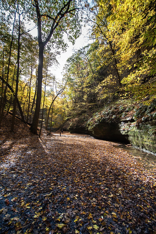
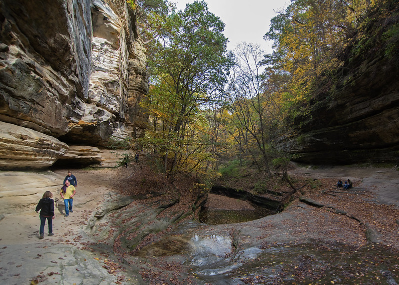
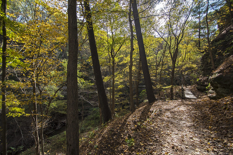
We watched all week hoping the trails would reopen by the weekend so we could hike the canyons of Turkey Run, and upon our arrival we discovered all of the trails were open again.
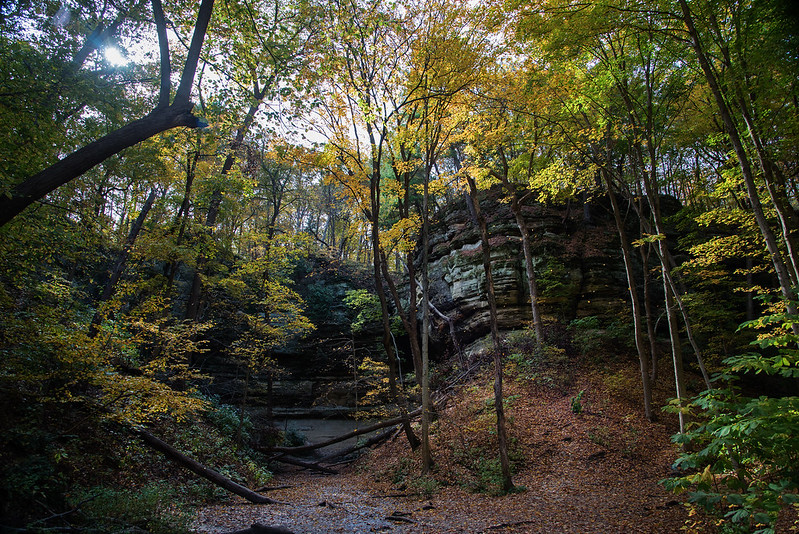
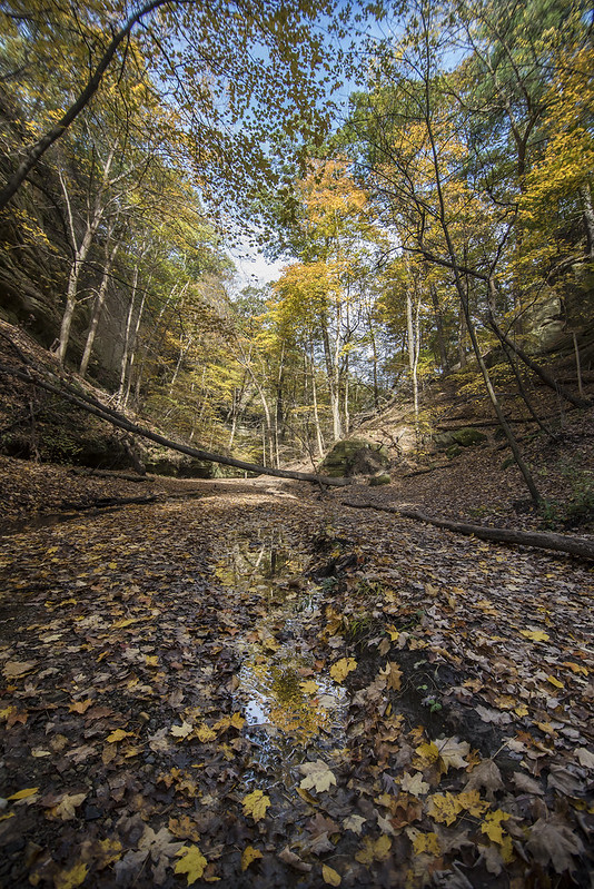
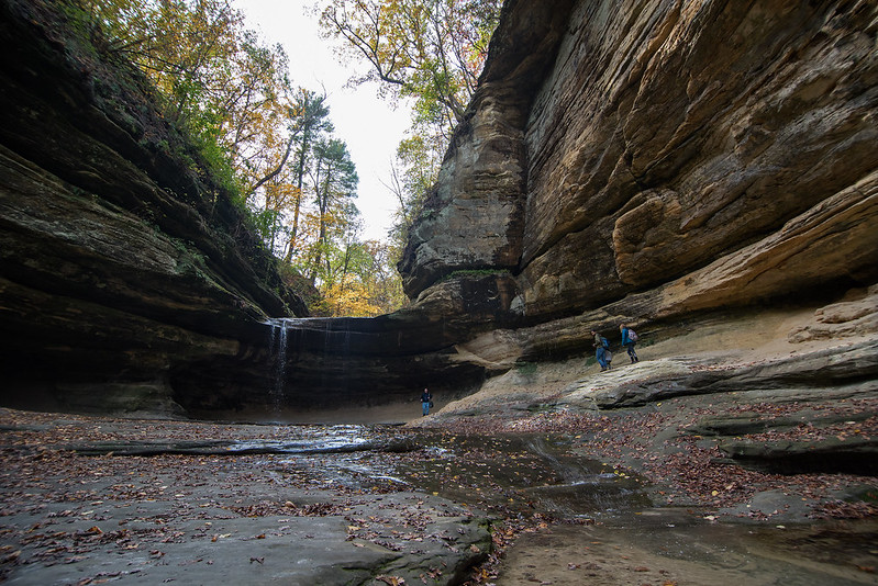
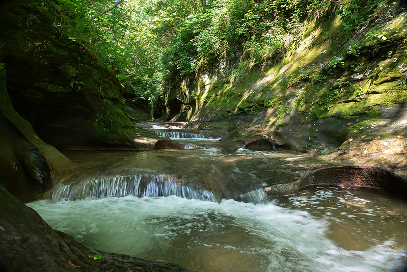
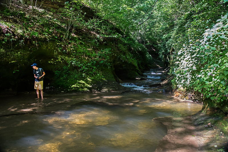
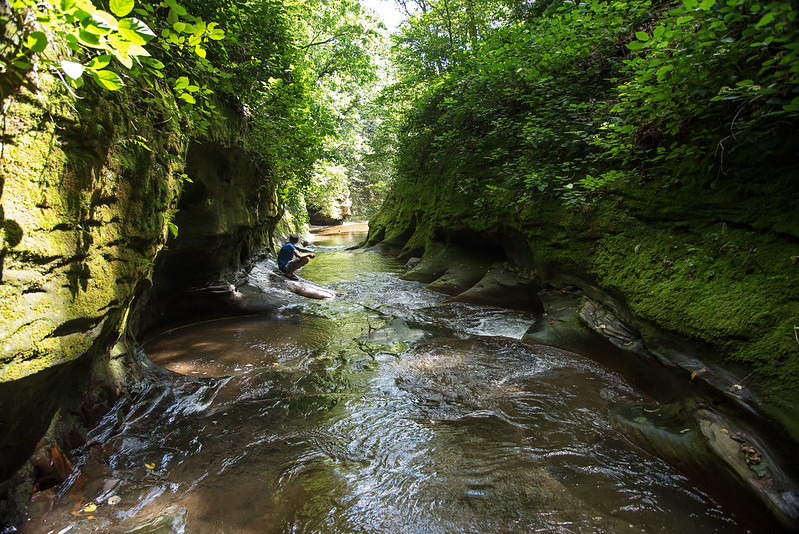
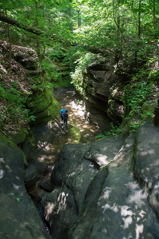
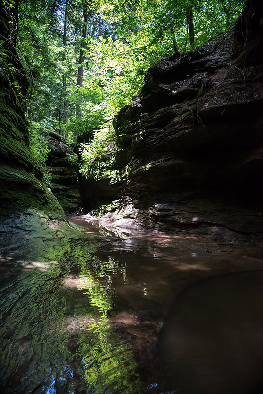
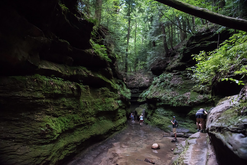
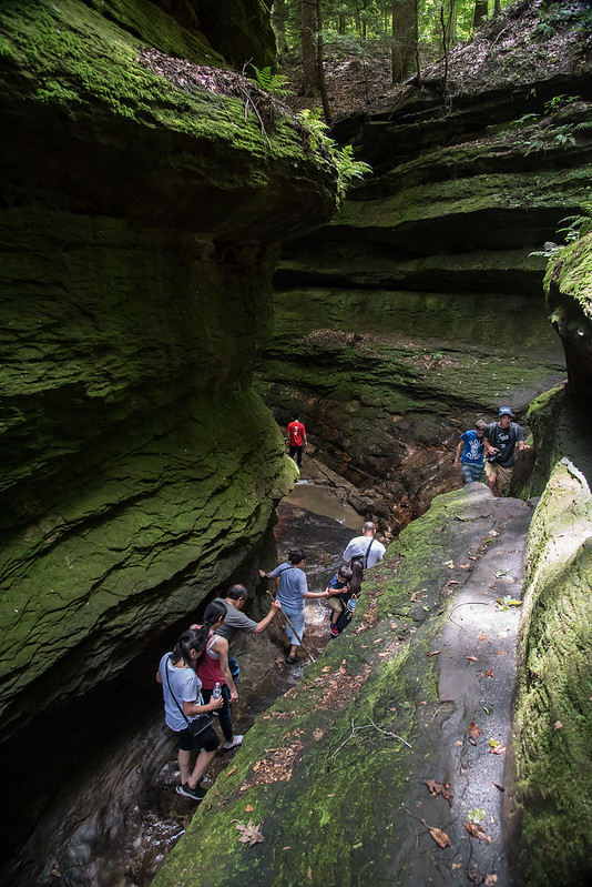
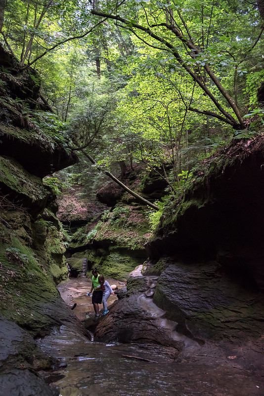
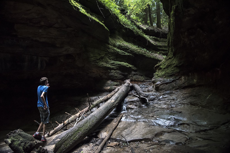
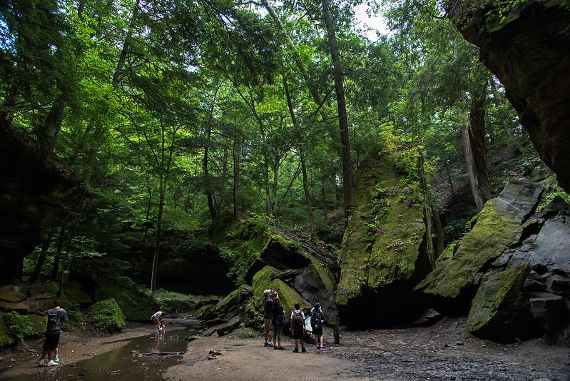
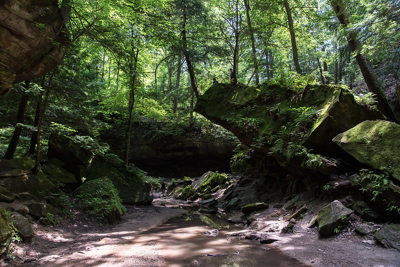
Our favorite trail is Trail 3, which takes visitors on a journey through a densely canopied canyon. Labeled as rugged, hikers must walk through the shallow stream in areas, up a small waterfall, and over countless boulders. Nothing too difficult, but it's certainly interesting to hike where the trail is actually the creek bed.
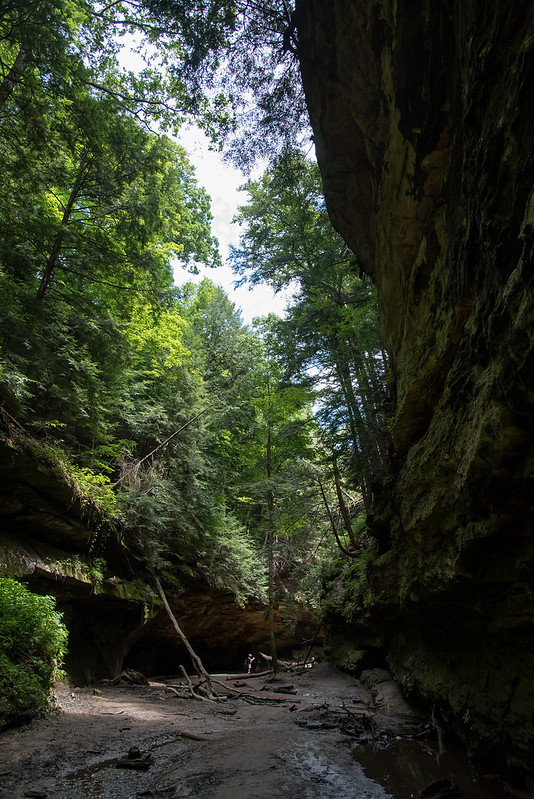
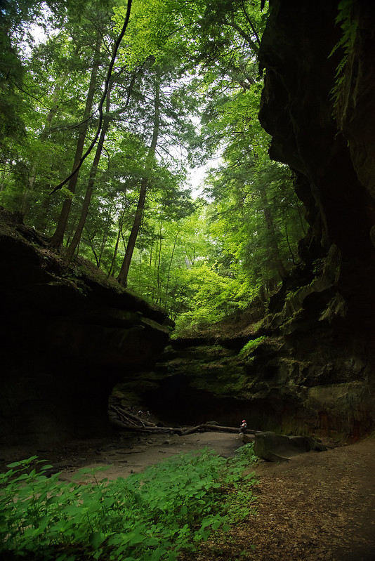
The first thing one notices is the drop in temperature. The canyon is quite a bit cooler than the surrounding area, even in the summer. The forest above changes as well. Many more coniferous trees surround the canyon, and deep green moss grows on most surfaces, making the canyon appear to be something from the Pacific Northwest.
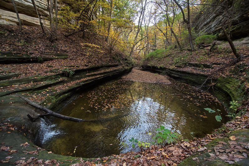
The scale of the canyon is also something to take note of. While certainly nothing of the scope of the American West, these canyons make visitors feel very small indeed.
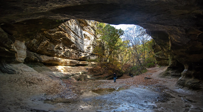
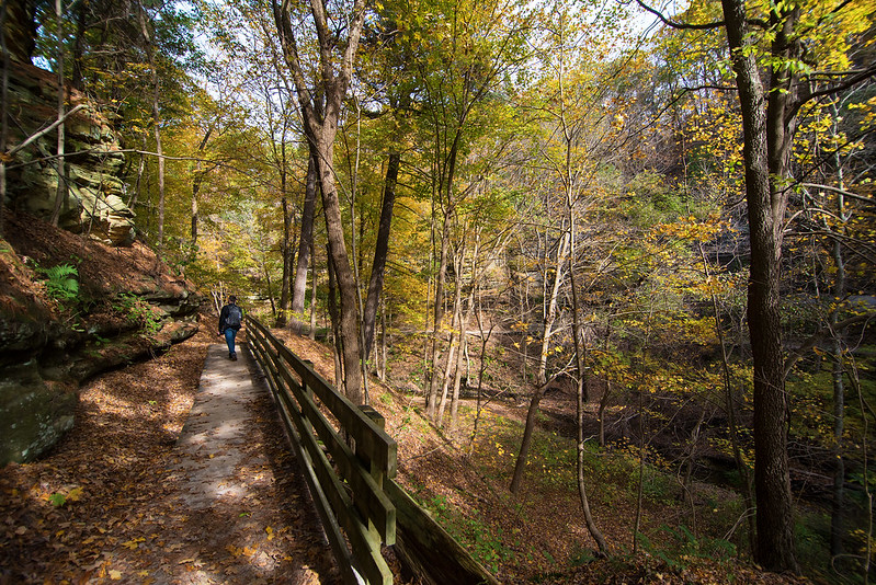
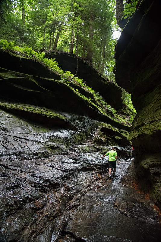
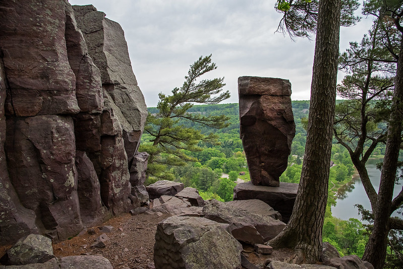
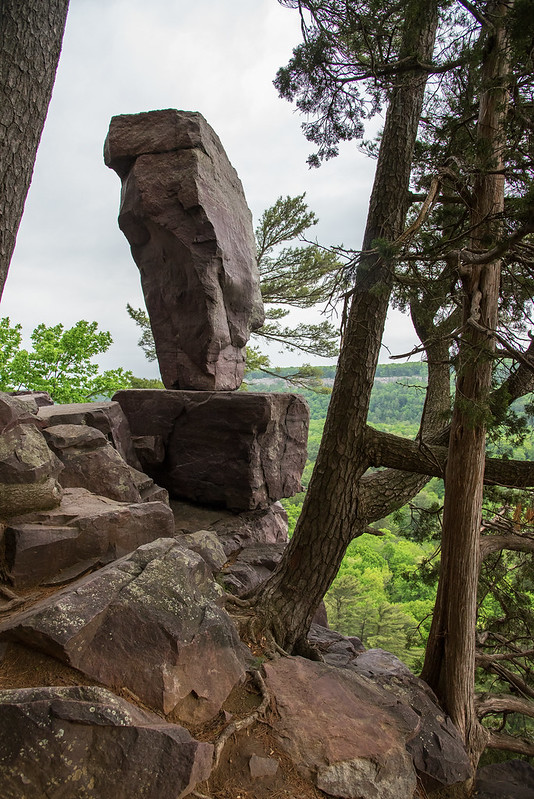
Wedge Rock was the first formation of significance of Trail 3 on our hike. A large rock torn from the canyon wall thousands of years ago by water and ice expanding over time. The rocks appear like giant tumbled dominoes, and the trail wanders directly under one domino. Viewed from the trail, the tip of the rock formation seems to be about 35 feet up, and very difficult to reach, but walk around the back of the rock, and it's a relatively easy walk up a 30 degree slope to the tip. The coniferous tree at the top has managed to grow despite the lack of soil, and the meandering roots can be seen winding their way around the rock to reach water.
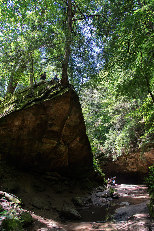
It wouldn't be a trip through Trail 3 without a careful climb to the top of Wedge Rock. The view of the canyon is great from this vantage point, as it sits right on the turn in the trail. While at the top, this can certainly be a dangerous place to walk or sit, however, the climb up the root-covered rock is quite easy and safe.

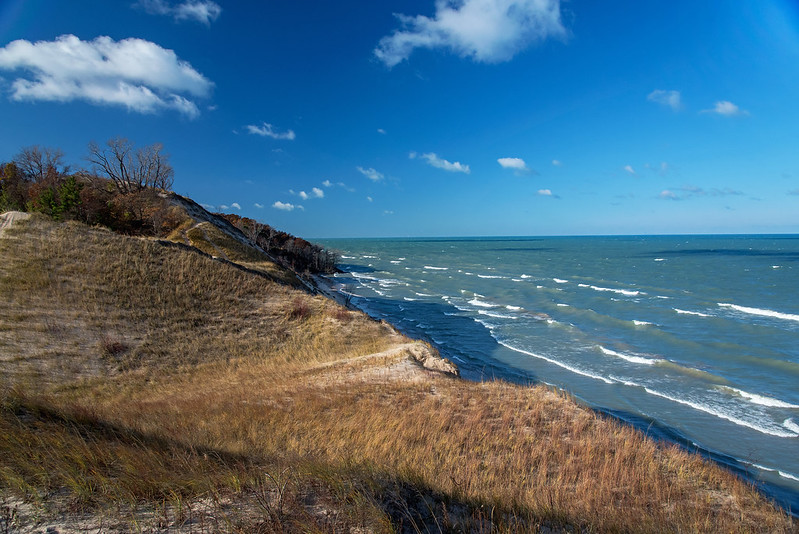
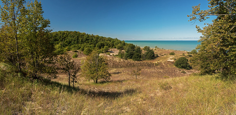
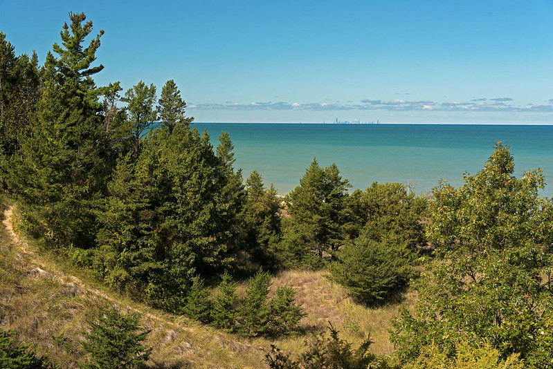
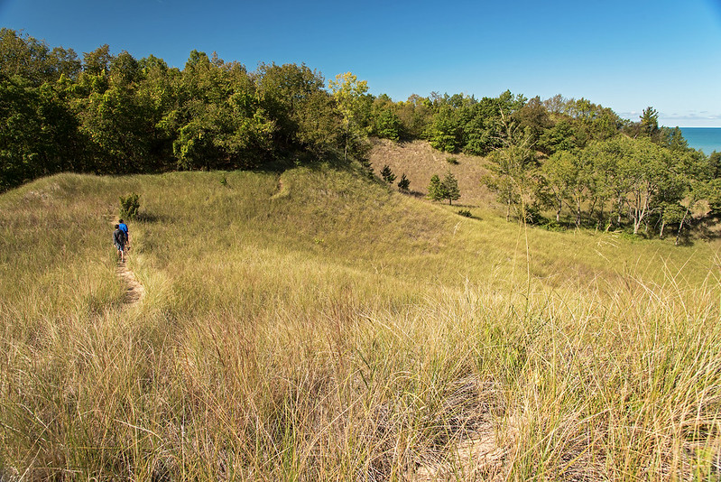
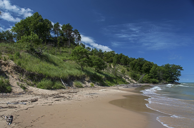
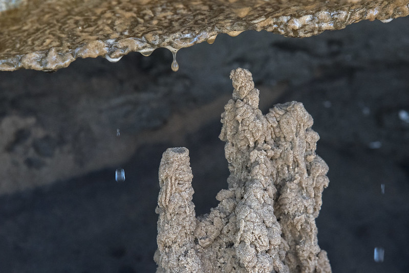
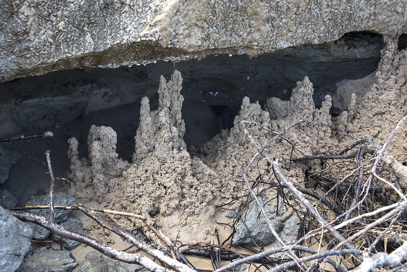
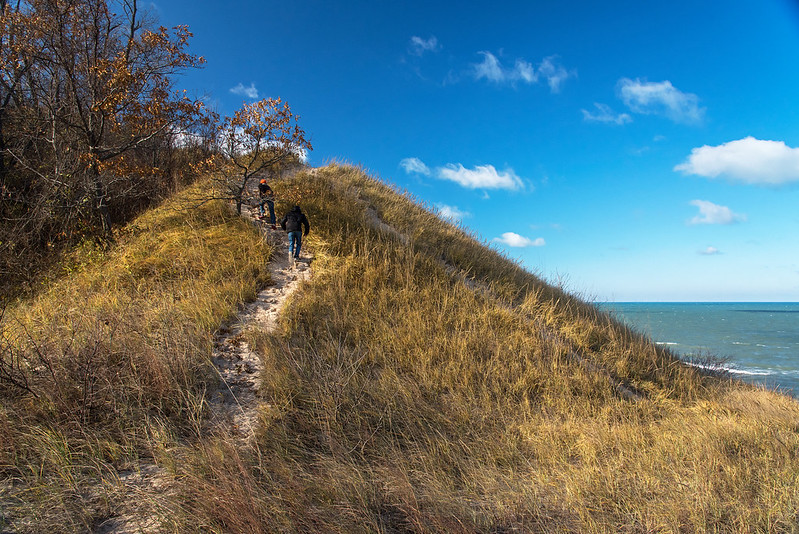 The high winds and cold temperatures reminded us that winter is approaching. While standing on top of the fore dunes, we felt the full brunt of the weather, but just over the ridge the winds were blocked, and temperatures were much more tolerable. On windy days, the beach all but disappears, so it's a perfect time to explore the secondary dunes, and the nearby woods. Most visitors are attracted to Lake Michigan and the beaches along the shore, but there are so many other aspects of the Indiana Dunes National Lakeshore that can't be found anywhere else in the area. These are the places I like to explore.
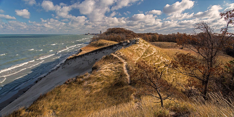
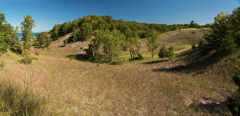
 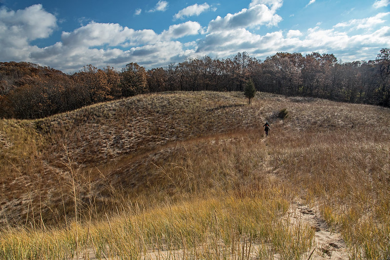 Certain areas of the park show a perfect dune progression from beach to forest; West Beach is one example. But the progression can be seen to some extent at all the beaches. It's these unusual areas that attract me, the woods that seem to begin at the foot of a grassy dune, almost as if they were planted by hand, purposefully. Why are there single conifer trees in the middle of a Marram grass meadow? These landmarks can be seen from quite a distance, and are often the target of our hikes. I've explored the dunes for many years, most weekends each year, and I still find new things to explore. What's also interesting is the change that takes place over time to places I visit, things are rarely the same twice.