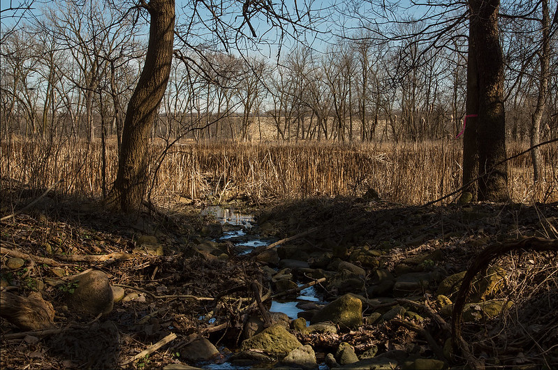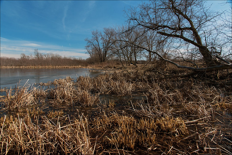
Cutting through the 425 million year old deposit of dolomite, this small stream equalizes the levels of two wetlands located in the Lockport Prairie Nature Preserve, along the bank of the Des Plaines River. Looking at the rounded rocks in the stream, it seems this has been flowing here for a long while, not just an occasional passage for floodwaters. Some other areas of this park show signs of flooding, and are located out in the open, but this stream was hidden behind an old stand of trees toward the end of the trail.
While the majority of the park is mostly flat, the area just beyond the trees surprised us with an eight foot deep gulch cut by this stream.

Flowing into this wetland, the stream's waters probably flow eastward toward the Des Plaines River, only a few hundred feet away. Exploring that area was difficult due to the deep, sticky mud - best saved for a warmer day, or in winter when the ground is frozen.


No comments:
Post a Comment