The Dunes of Van Buren State Park

The Easy Way Down

The weather forecast scared most people away from the beach, but some die hard hikers still wandered around the dunes of Van Buren State Park, in western Michigan. Spotty rain storms surrounded the region, driven by unusual winds from the northeast. Locals who expect storms from the west and northwest were finding themselves trapped and drenched by surprise rain from the east.

The Edge of the Blowout

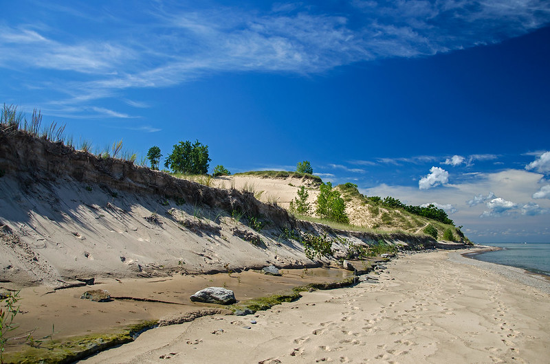
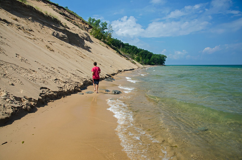
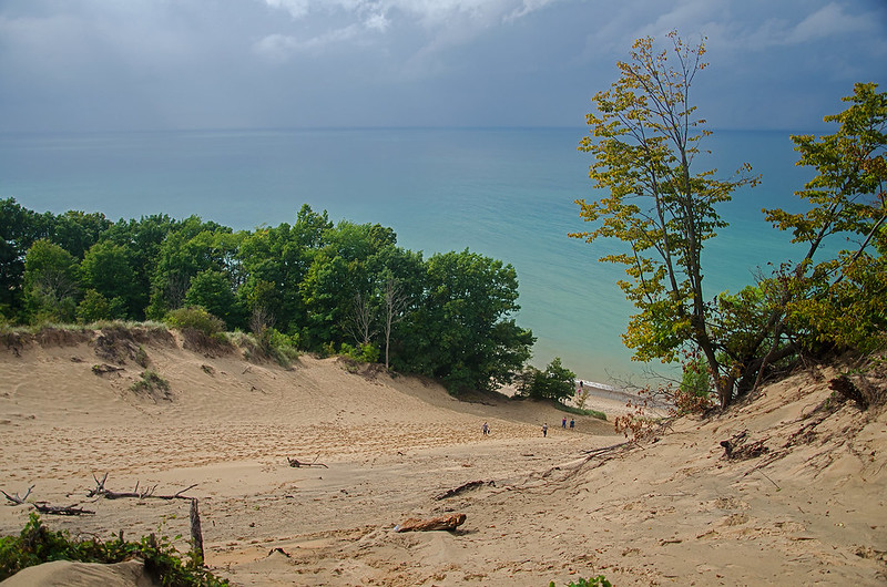
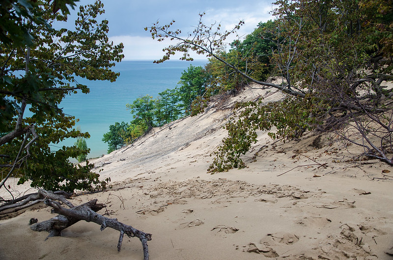
This particular dune blowout had a steep, winding, soft sand path from the main trail to the summit. With each step, the foot would sink and slide back down; progress was slow up the dune. Once on top, hikers are rewarded with a great view of Lake Michigan and the forest surrounding the dunes.

The way down was much easier.  The blowout (portion of the dune with little vegetation to hold it together) provided a wide, relatively gradual slope to the beach below - a welcomed easy hike compared to the strenuous climb up.


Into the Light

Into the Light

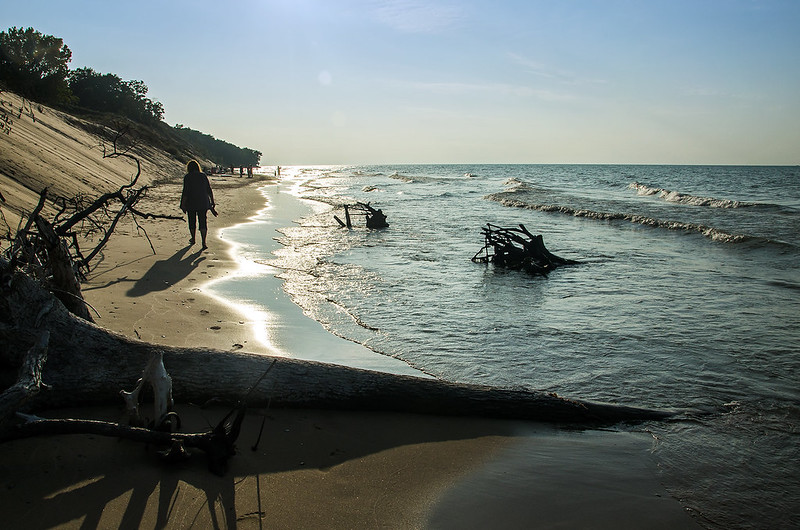
Early Fall at the Indiana Dunes National Lakeshore seems to arrive quickly, and the changes appear almost overnight. The sun tracks differently in the sky, it now sets almost in line with the shoreline instead of over Lake Michigan. Last week, the water temperature was comfortable, only six days later, the feet and legs hurt when immersed in the water.

A westerly walk along the beach is a bit difficult because of the angle of the sun, but from this angle, the sun highlights every wave and grain of sand in sight. A few minutes later, the sun would overpower any photo taken from this angle, and only silhouettes would be possible - a great reason to purposely delay and walk slower toward the parking lot.

The Beach Below

The Beach Below

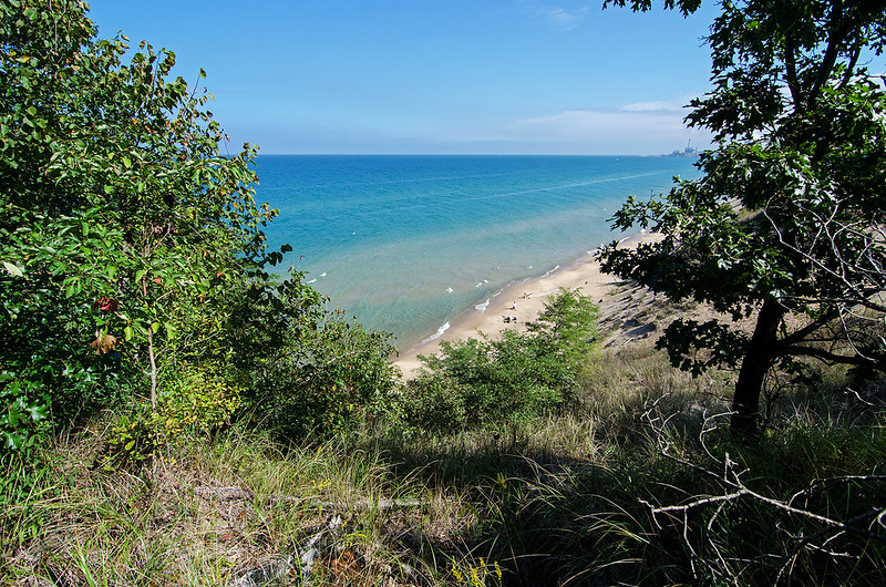
A climb up the wooded portion of the dune, and a short hike to the ridge, allowed us to view the beach below. This particular dune is still intact, not eroded by the waves, because it sits a quite a distance from the shore.

From this vantage point, we were able to see the entire expanse of beach we just walked, all the way to Kintzele Ditch, almost a mile away. The view extended much more of course, and on clear days, the Chicago skyline can be seen almost 40 miles across Lake Michigan.

Two old homes close to this dune were recently torn down, adding the property to the national lakeshore.  Walking around the area, I can only imagine how beautiful it must have been to have a home situated in such a picturesque landscape.

Smooth Dunes

Smooth Dune

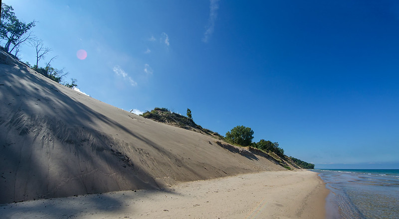
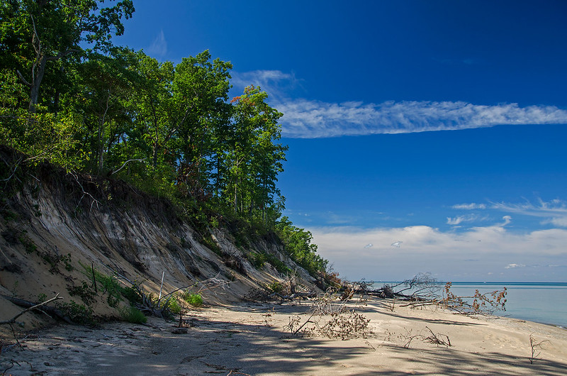
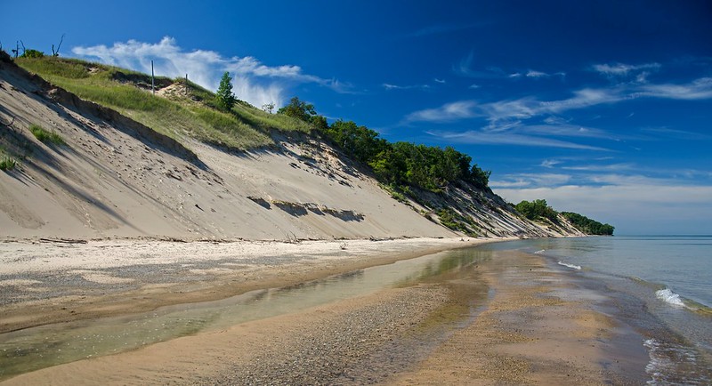
The shadows of the trees are elongated when they fall on the steep, smooth sanddunes along the Indiana shore of Lake Michigan. Constant battering by waves causes erotion, and these dunes, once many meters from the shore, are now only a few feet from the waves. High waves regularly crash into the dunes, and  have collapsed much of the dunes along with the forest on top.

The paths and trails I once walked along the dune ridge are long gone, washed into the lake about three years ago. My morning hike included the winding path through the wooded dunes, into the bare blowout, through the dune savannah, back up to another heavily wooded oak forest, then down to the beach. Clumps of flowering shrubs, wild grape, wisteria, and stands of pine were landmarks along the way - things I recognized and watched change through the seasons and through the years.

Now, hiking on these dunes is not allowed, and it's rather difficult to get up to them from the beach. I imagine some of the landmarks remain, changing with every season, waiting to be seen again.

A Look at Mt. Baldy

Wooded Dunes

Closed to visitors for the past three years, Mt. Baldy continues to change despite the lack of foot traffic. Following the near fatal incident of a boy falling into a sinkhole on a closed portion of the 125 foot tall living sand dune, the area was closed for safety concerns.  According to the park, other sinkholes cannot be ruled out, so the area is not open to visitors unless accompanied by a park ranger.

The emergency conditions, as they're called, apply to much of the area, and signs would have the public believe foot traffic is the reason for much of the erosion along the dunes.  Save our dunes! Keep off the dunes! Anyone who has visited this national lakeshore over many years can clearly see, Lake Michigan is the culprit, not people.  In fact, the paths visitors used to walk along the dunes from Central Beach to Kintzele Ditch are long gone, washed into the lake by waves, not trampled by feet.

View of Mt. Baldy<

The view of Mt. Baldy from the beach has changed over the past few years. The photo above was taken in September 2016. One can barely see Mt. Baldy due to the erosion of the beach. The view is blocked because the beach has washed away.

Below is a photo in approximately the same area, taken in 2009. Standing on the beach, Mt. Baldy is clearly visible.  It's quite a transformation, and it shows the power of Lake Michigan.

Mt. Baldy From the Shore

clay2sm

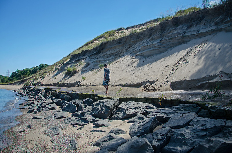
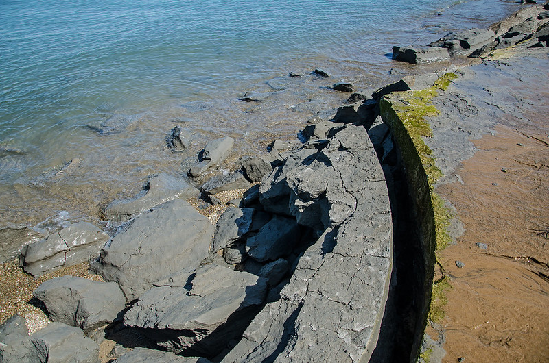
This erosion has revealed interesting things along the beach including a thick layer of clay that was once buried under the sand dune.  The clay has the appearance of rock, especially when it's broken off by the waves.

claycloseupsm

This could be the early stages of rock formation, and in a few thousand more years, this clay could become rock. But for now, the lake continues to claim more and more of the shoreline for itself. It's an interesting process - a natural process - that has been going on for thousands of years, and will continue with or without human intervention. While we must stop needless and careless damage to our environment, we must also allow our children to experience the dunes environment first hand, and that means walking through it, and touching it.


Tropical Feel

Tropical Feel

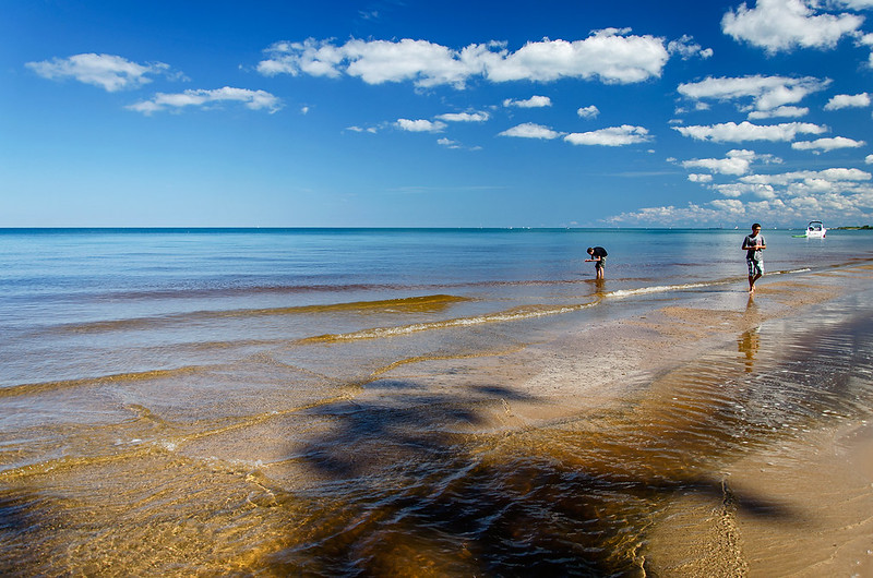
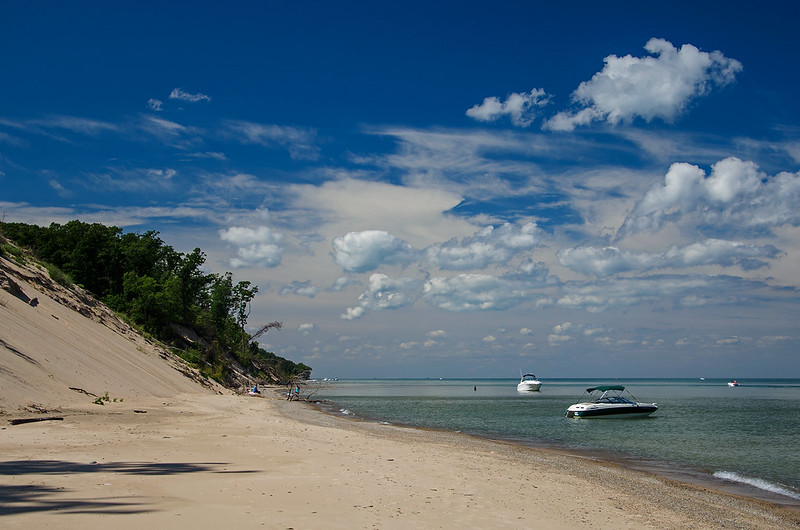
As I explore the beaches and dunes of eastern Lake Michigan, I'm often reminded of the tropics.  The sun, clouds, and water can take on the feel and colors of beaches over a thousand miles away.  It seems morning conditions are more favorable for such a tropical feeling.  The blue sky, white clouds, and colorful water are the most to blame, but on windless days in particular, the water transmits the color of the sand below. Couple that with the shadows of the trees on top of the dunes, and the shallow waters appear like those containing tropical reefs.

The recent hot weather reinforces the tropical feel - even when wandering inland to explore the wooded dunes and savanah with the lake as a backdrop.

Boats and Beach

People from all around visit the Indiana beaches, and on some days, boats line the shore, allowing passengers to enjoy the beach and dunes.

Ever Changing Beach

Ever Changing Dunes

A bright sunny morning in early September reminds us that this may be one of the last hot days we're going to have to explore the beaches of Lake Michigan.  Summer may be winding down, but there are still plenty of beautiful days ahead on the lakeshore - even if it is snowing.

The rise of Lake Michigan has taken a toll on some of the dunes, washing the edges into the lake, but it's a natural process.  The beach is starved of sand, and little sand is replaced as the waves crash into the dunes.

What this process has done is all but eliminated the flat beaches of Central Avenue Beach and Mt. Baldy.  A beach that was once several meters wide, is now touching the water's edge in places. Trees that once stood on top of the dunes have fallen down the dunes and into the lake.

This natural process of constant change makes me wonder how the dunes appeared centuries ago, and what they'll look like centuries from now.

Disappearing Beach

Disappearing Beach

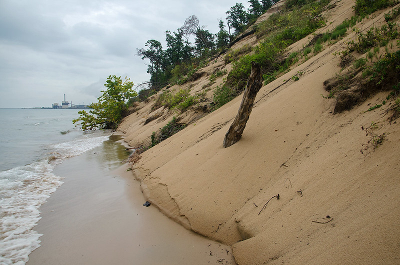
After a year of closure, Central Avenue Beach was opened to visitors once again. Finally.  A storm in July of 2015 eroded much of the sand from the beach, creating a drop of over eight feet from the trail to the beach. In addition, much of the beach was gone - washed into Lake Michigan.  What was once a beach of around 50 feet wide, is now reduced in many places to just a yard or two.

In some areas, the waves crash right into the foot of the dunes, making a hike down the beach difficult if one wishes to stay dry.

Trees have toppled over from the tops of the dunes into the lake, and the sides of the dunes appear rather unstable as "waterfalls" of sand constantly pour down the dunes further eroding them.  The waves wash away the base of the dune, the sand becomes unstable, as more and more sand falls to the beach.
Vanishing Dunes

A natural process that for some reason is constantly attributed to people walking on the dunes. Every single path and footprint that was once on these dunes is now at the bottom of Lake Michigan - and it's not because people walked on the top of the dune.

High lake levels (waters have risen around four feet over the past few years), and the construction of the pier in Michigan City back in the early 1900's are to blame, not everyday visitors.  The pier marks the entrance to Trail Creek, but blocks the flow of sand from the northeast, starving the beaches to the south.  Without this replenishment, the beaches erode away.

The Indiana Dunes National Lakeshore seemed to be the national park of closed signs.  So many areas were closed to the public due to "emergency conditions" it became almost laughable. Signs at the foot of every dune warned visitors not to walk on the dunes - anywhere.  It's understandable to keep people off of many parts of the dunes, but this was excessive. Every sign was ignored, every fence was simply walked around, and this created even more erosion because visitors made new trails around the closed ones.

All this to protect the dunes from erosion - then Lake Michigan took over and washed everything away anyway.  I'm all for protecting the dunes from unnecessary damage and erosion, but visitors need to see the dunes, touch the dunes, and explore the dunes, not just see photographs from the past when people were allowed to walk on them.

Official paths should be made along the dunes, and visitors should stay on them.  Enforce the new paths and punish those who wander off the trail. The national lakeshore shouldn't keep the public off the dunes unless there's a danger to them (such as Mt. Baldy).  People need to experience the dunes in a natural state, not paved trails with stairs, benches and signs - just sand, sun, and nature.
Big City Lights

Big City Lights

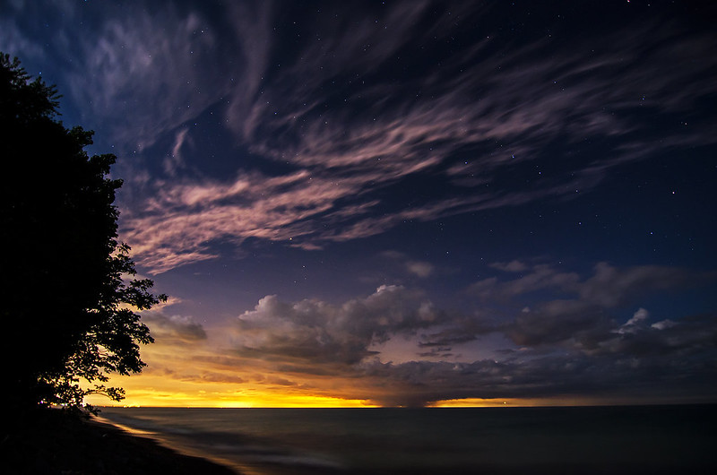
The night sky illuminated by the lights of Chicago just 30 miles across Lake Michigan. Hoping to photograph some meteors, but knowing it was too early, I captured some stars along with fast moving clouds over the lake.

The artificial lights from Chicago appear like a sunset on the horizon, but the light comes from below the clouds, not above.

A small spot of rain was almost perfectly aligned with the Chicago skyline, blocking out most of the lights from the skyline.

Lake Michigan From the Savanna

Lake Michigan From the Savanna

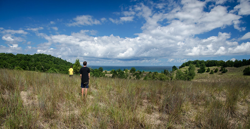
After a hike along the shore of Lake Michigan, we came upon a high dune blowout and decided to climb to the top. From there, several trails were visible, giving us options to explore the land behind the dunes.

One area was especially attractive to us, the wide savanna behind the blowout. In particular, a single evergreen tree stood out, so we decided to find a way to hike to it.  After many failed attempts on trails that brought us to the wrong places, we managed to hike to the lonely tree.

In this savanna, we discovered prickly pear cactus, racerunner lizards, and an expansive view of the dunes with Lake Michigan in the distance. We watched as the clouds formed over the lake, little did we know that in just another hour, this cloud would produce several waterspouts. (see my previous post).


Waterspouts over Lake Michigan

Waterspout on Lake Michigan

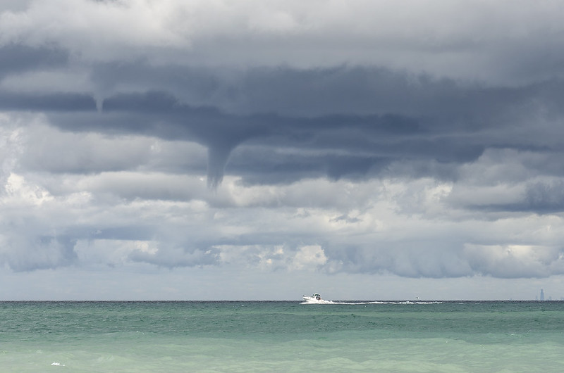
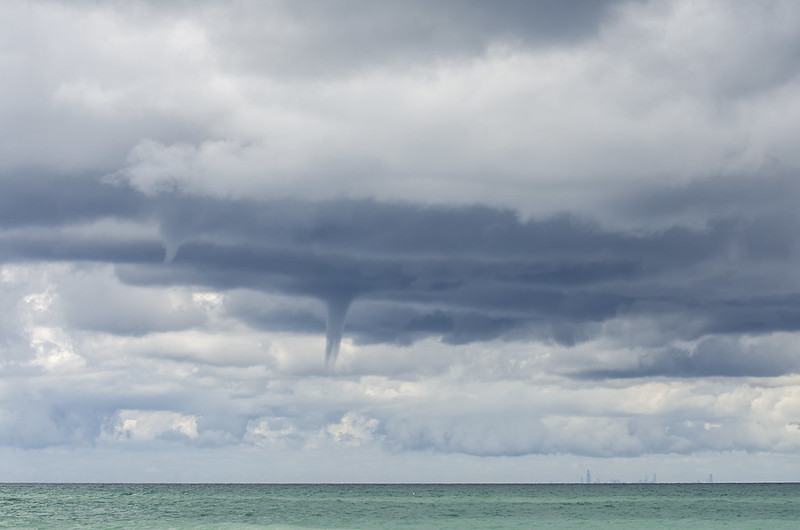
On a beautiful, sunny, summer morning, multiple waterspouts formed over Lake Michigan.  A small area of clouds produced the waterspouts, yet all around was beautiful sunshine. After a long hike through the Indiana Dunes, we spotted the first waterspout.

Waterspout Forming On Lake Michigan

The funnel grew longer, and wider until it reached the surface of the lake. While it never appeared to connect the clouds and water, spray could be seen on the lake where the waterspout touched the lake surface.

Waterspouts Over Lake Michigan

We watched as more waterspouts formed, and at times, two were visible at once. We counted four separate waterspouts in less than an hour.

Dual Waterspouts

Waterspouts are not tornadoes, they are columns of water formed by a vortex over water. Generally associated with thunderstorms, most of the waterspouts I've encountered over the years appeared in good weather.

Maquoketa Caves, Topside

Maquoketa Land Bridge

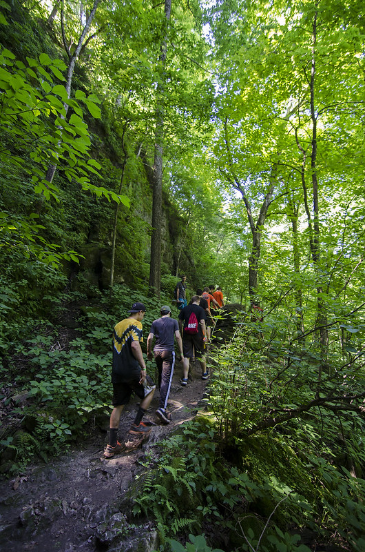
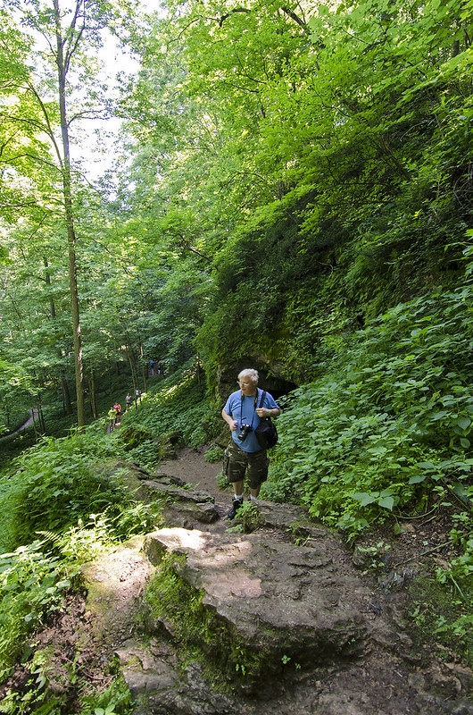
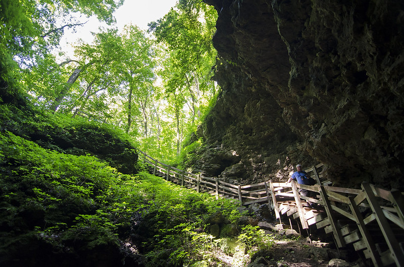
Only half the enjoyment of Maquoketa Caves State Park is subterranean.  The above-ground scenery is beautiful as well, and there are over six miles of trails winding through the rocky, wooded landscape.

Under the Arch

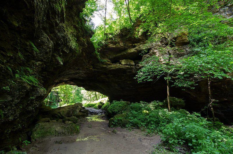
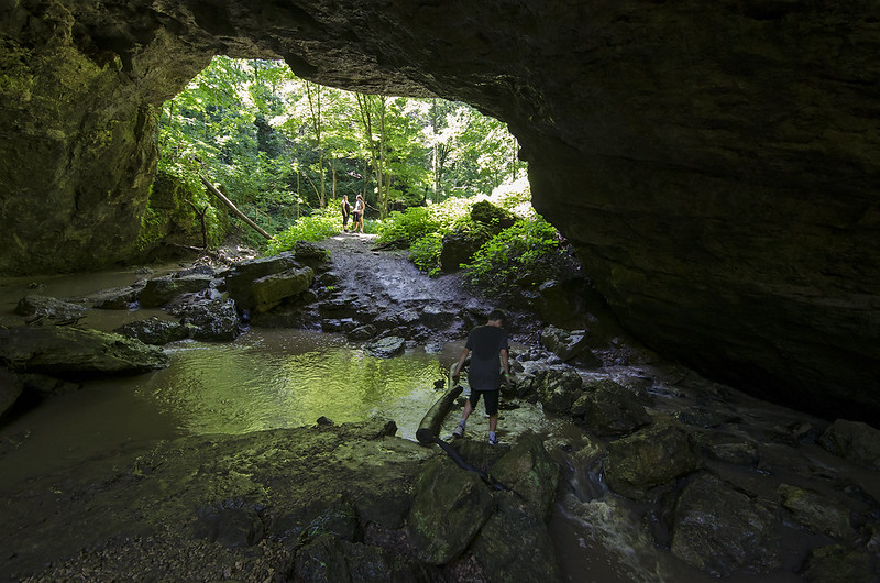
A major attraction is the natural land bridge.  It's much larger than it appears, and is a beautiful feature to explore.  Located just outside of Dancehall Cave, the land bridge dominates the landscape as you exit the cave.  This rock formation seems to split the state park in half, with almost half the trails and caves on each side.
Maquoketa Topside

Hiking between caves is rugged, and at times, I'm reminded of places such as Costa Rica, with rock cliffs rising up from dense, forested valleys. The trails looping around and over the top of these cliffs yield some interesting, small features of the park many people miss.

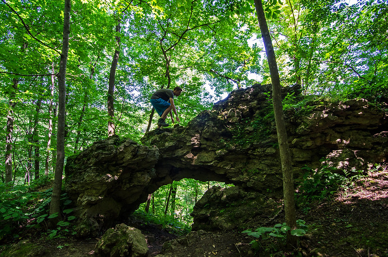
This small arch is located high above the well-traveled paths below, yet is safe enough to explore.  Another just a few hundred feet away, is just as interesting, but perched on the edge of the cliff side, and potentially deadly to explore in the same manner.

Scaling the Arch

We still have almost half of the park to explore on our next visit - which is scheduled for early Fall.

Rugged Trails

Maquoketa Caves

Cave Entrance

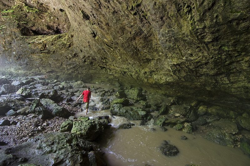
Looking more like a scene from Costa Rica, the landscape of Maquoketa Caves State Park is one of rugged cliffs, and lush green forest. Containing the most caves of any state park in Iowa, Maquoketa boasts 13 caves along its 6 miles of winding trails. Many caves have tight passages where crawling is a must, while several are large enough for uninhibited walking.

Foggy Dancehall Cave

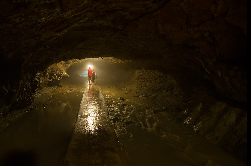
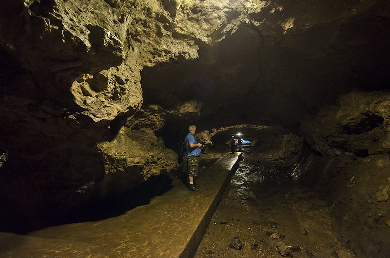
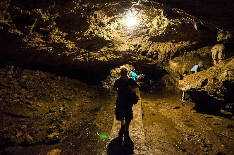
The largest cave of the park, at 1100 feet in length, is Dancehall Cave. A lighting system and concrete path makes this cave one of the most accessible in the park. A steam runs through the cave, and during one of our visits right after a rain, the path was covered in several inches of running water. Dozens of children walked through the silty water to explore the cave, all covered head to toe in mud, as if they were dipped in chocolate.

Cave Path

All the caves are self-guided, and open to the public. Each visitor to the park must stop at the ranger station to hear a bit about white nose syndrome, a fungal disease affecting bats. To keep this fungus from spreading to this cave system, visitors need to wipe their shoes on special mats, and should never wear the same clothes to multiple cave systems.

Exploring Dancehall Cave

The caves are spread around the park, so as one hikes through the dense and rocky landscape, they happen upon cave after cave. All are open, but many require one to belly crawl and squeeze into very tight areas. Not being equipped for such an adventure, and because of the storms the night before, we only explored the caves where we could stand or crawl on all fours.

High Water in the Dancehall

Wedge Rock

On Top of Wedge Rock

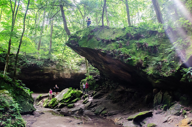
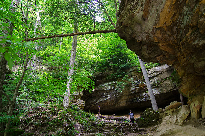
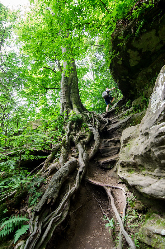
A popular feature of Turkey Run State Park's trail #3 is Wedge Rock.  This huge chunk of rock separated from the canyon wall long ago, and rested in this position. The rock is shaped like a wedge, and its position allows hikers to walk beneath it as well as on top of it.  While it certainly is dangerous to stand on top close to the edge (it's probably a 30 foot drop), the path up to the edge is rather easy to climb. The rock provides a long, ramp-like approach with plenty of twisted tree roots to gain a foothold.

One can only imagine the noise this must have made when it fell, and it probably shook the ground for a long distance around. As you hike in places like this, it makes you wonder when the next huge chunk of rock will fall.

From the Waterfall

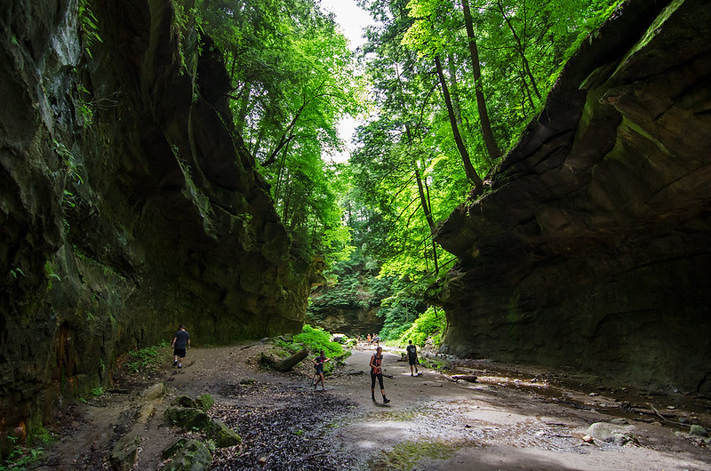
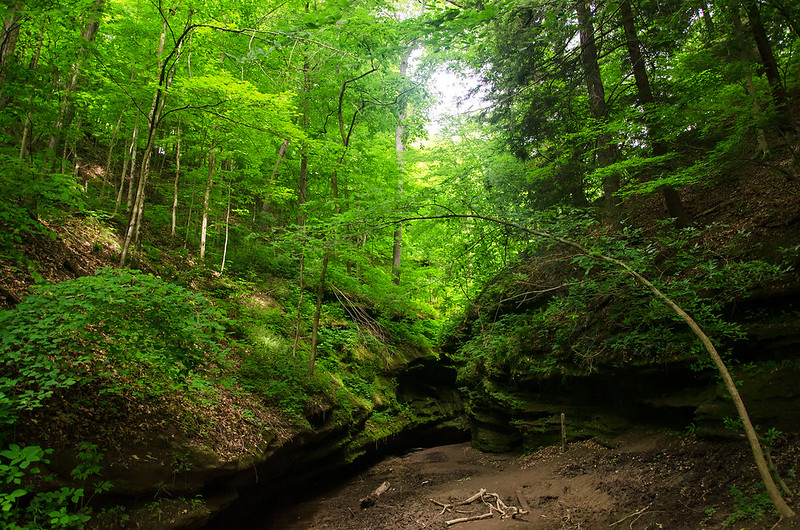
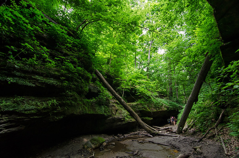
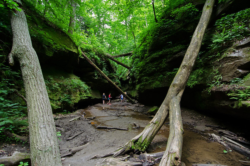
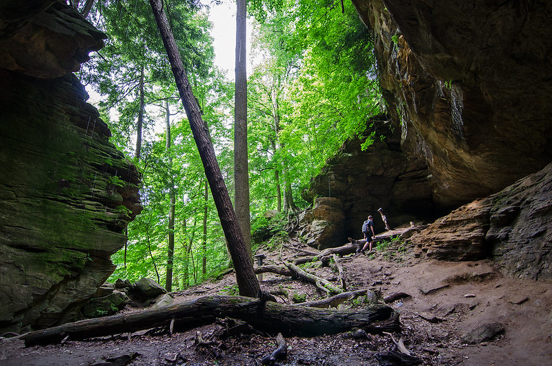
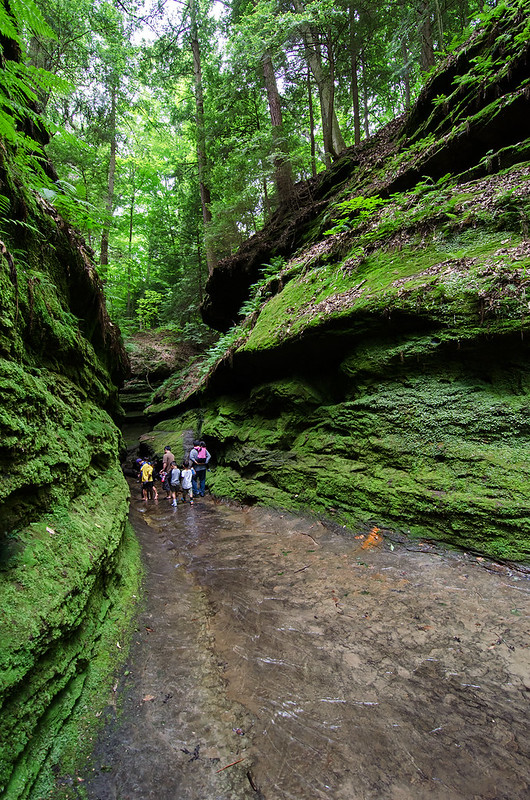
These winding canyons amaze visitors in all seasons, but the late spring and summer months provide some benefits. The canyons are much cooler than the temperature elsewhere in the park - sometimes 20 degrees cooler, providing welcome relief from the summer heat. The trees are fully developed and shade the canyons, and filter the sunlight through their green leaves. The filtered light bathes the canyons in a wonderful green light, especially in full sun.

An interesting park to visit anytime of the year, Turkey Run State Park really comes to life in the Spring and Summer.

Keeping Dry

Staying Dry

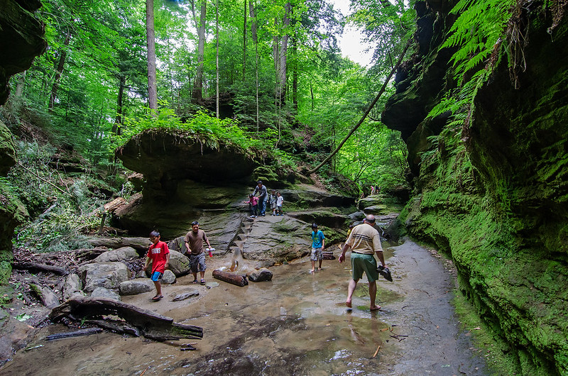
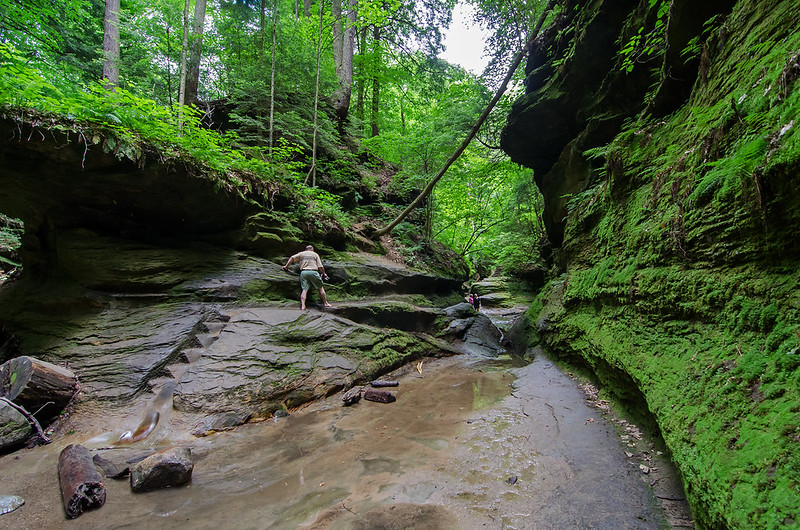
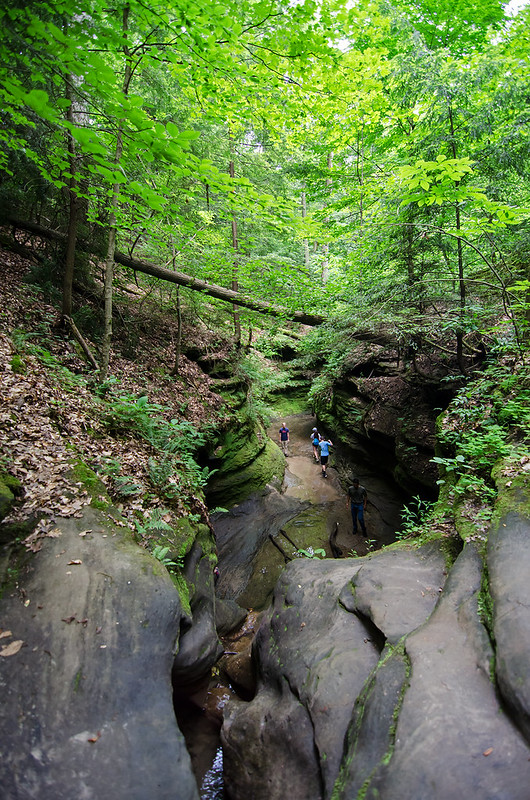
One of the appealing things about Turkey Run State Park is the opportunity to hike directly on the canyon floor where at times the stream is the only trail.  In parts of trail 3, the canyon narrows to only four or five feet wide, and hikers walk directly in the stream.  There is one way around, and it consists of some steps carved into the canyon wall.

Keeping Dry

At first these steps appear wide enough for a comfortable climb, but at the top, they narrow to the point where only one foot can fit onto a step.  People with wide shoulders or large backpacks may find it difficult to walk in this area without turning their shoulders almost 90 degrees.  While not too high up, a fall from this 10 foot high walkway would certainly cause injury. Some hikers choose to get their feet wet to avoid the potential danger.

Narrow Passage

The canyon changes from four feet wide to 30 as you hike along this portion of trail 3.  Eventually, it opens up to an expansive area at the base of a gentle waterfall.

The Ladders

Bottleneck at the Ladders

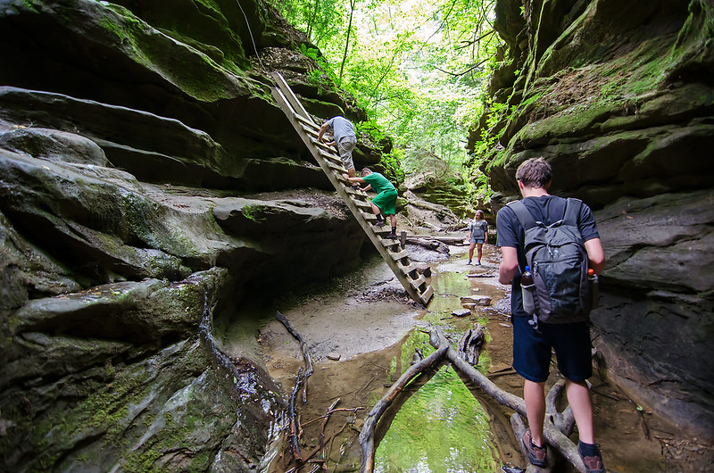
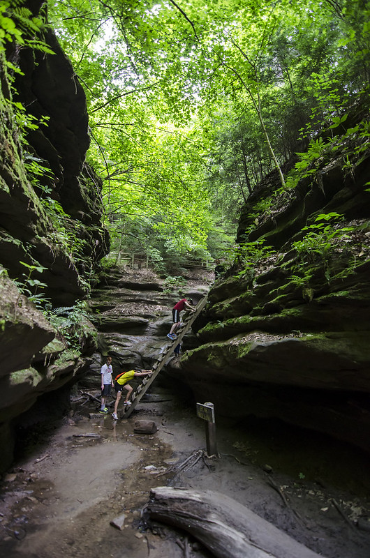
Continuing along Trail 3 at Turkey Run State Park, the level of the canyon changes dramatically, forcing hikers to climb to the next level.  Ladders were installed to assist with the climb - they're fitting for this rugged trail, as stairs would certainly ruin the experience.  The ladders only allow a single person at a time to move to the next level, so small bottlenecks of traffic occur at this point on the trail. The scenery makes the wait enjoyable.

Water runs next to the ladders, as well as underfoot as you approach them.  The small waterfalls flow all around you as you ascend.

The Ladders of Trail Three

Once up the ladders, the canyon below comes into view, and what once appeared quite wide and large, seems tight and narrow when viewed in perspective with the surrounding forest.

Walking in the Canyon

The first people to explore this area probably didn't notice these canyons as they walked through the forest, until they almost fell into them traveling between ridges.

Lush Green Canyons

Lush Green

When we last visited Turkey Runs State Park, it was winter.  The canyons and trails were beautiful back then, and we noticed plenty of thick moss on the forest floor.  I wondered how it might look in the summertime - the trees must fill out so thick they almost completely block the sun.

On this visit, we were treated with a remarkable green light from the canopy.  The trails were lined with huge trees, providing lots of shade on the forest floor.  The most spectacular thing was how the trees covered the canyons, and the green light they provided in contrast to the dark rock.  Standing on the floor of the canyon looking up at the lush green was remarkable - especially when the sun was strong.

Green Canyon Trail

It's amazing how the vast forest above dwarfs visitors as they walk through the deep, damp gorge; people seem as small as insects.

Entering the Canyon

Every turn in the trail brings new things to see and experience. The anticipation of what lies ahead drives you to walk further and further, not wanting to wait to compose the perfect photograph.  It's always a great idea to soak in the surroundings no matter how much of a hurry you're in - just stop, look around, listen, and try to experience everything nature has to offer.

The Ice Box

Hiking to the Ice Box

Our morning hike began on trail 3, one of the more rugged trails of Turkey Run State Park. On previous visits, we exited the trail at the Ice Box, but this time we decided to begin at the Ice Box.  Taking the trail in reverse would give us a different perspective of the trail.

Deep in the Ice Box

The warm weather allowed us to hike to the bank of Sugar Creek on our way to the canyons. Dozens of canoes and kayaks floated by in the few minutes we explored the bank. Swallows swooped down near us as we walked beneath their mud nests clinging to the underside of the canyon walls.

From the creek, we hiked up the steep bank toward the Ice Box.  Immediately we noticed the dramatic drop in temperature, almost as if we were entering a cave system.  Only a bit of water flowed from the canyon above, dripping on the logs and rocks below, but enough to get the camera gear wet if we weren't paying attention.

Climbing Out of the Ice Box

Eager to press on to see the rest of the canyons and waterfalls, we climbed out of the Ice Box. Large, exposed tree roots clung to the rugged canyon walls, creating a makeshift set of stairs for us to use. Because we were taking the trail in reverse this time, climbing up this "staircase" was easier but more dramatic than heading down.

Beneath the Narrows

Beneath the Narrows

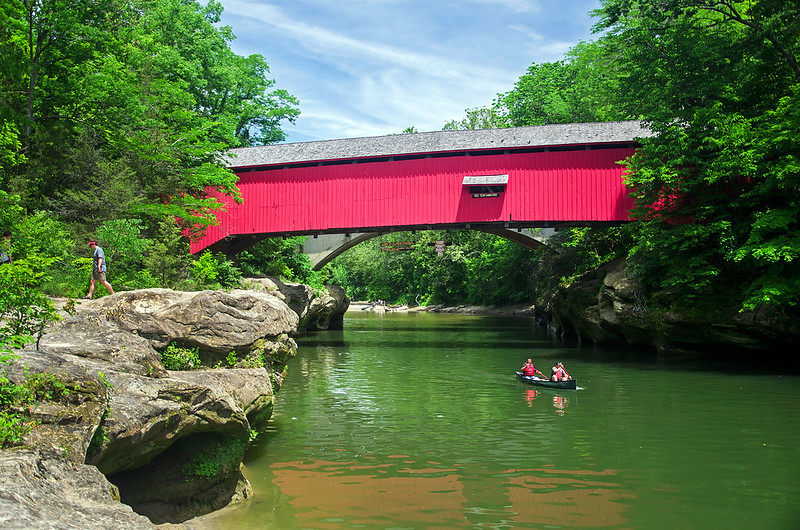
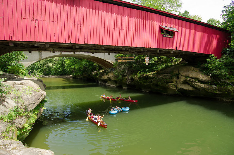
A hot spring day was perfect for paddling on Sugar Creek. Hundreds of people took to canoes and kayaks, as well as rafts and innertubes, and floated liesurely down the creek, through Turkey Run State Park in rural Parke County, Indiana.  A picturesque park located about 40 miles due west of Indianapolis, visitors can float and paddle on the creek, or hike the rugged trails that wind through the canyons.

Floating Through the Narrows

This spot called the Narrows, is a narrow portion of Sugar Creek, where a covered bridge was built back in 1883. At 137 feet long, the wooden structure is now closed to traffic, but open to pedestrians. Only $3,400 to build, the bridge uses the Burr Arch truss construction, typical of the covered bridges in Parke County.

One of over 30 covered bridges in the county, this bridge is on the border of Turkey Run State Park, and can be crossed by taking trail 1 or 2 from the visitor center.  It can also be viewed by driving north along Narrows Road from Indiana 47, just east of the park entrance.


Fishing Hole

Fishing Hole

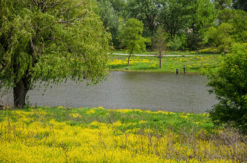
Two boys enjoy the colors of spring as they fish in their favorite spot on this small lake in Illinois. The yellow flowers were only around for a few short days, they've since turned as green as the tall grass surrounding them.

It's a shame more of the plants in Illinois don't retain their color for most of the summer, but so many plants flower at different times, there's almost always something in bloom during the warm months.