Wild Cat Den State Park's Undercut Canyon Wall

Walking the Undercut

Located 12 miles outside of Muscatine, Iowa, and about a mile west of the Mississippi River, lies Wild Cat Den State Park. This park is home to several small sandstone canyons, ravines, and some historic structures including a schoolhouse and a mill.

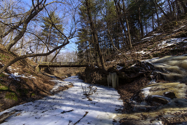
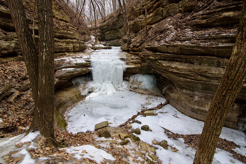
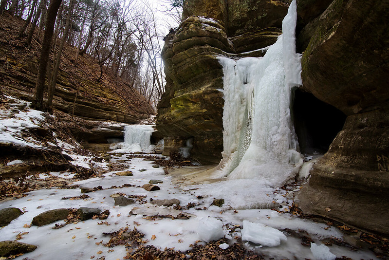
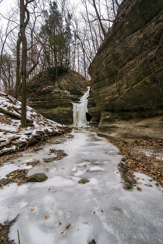
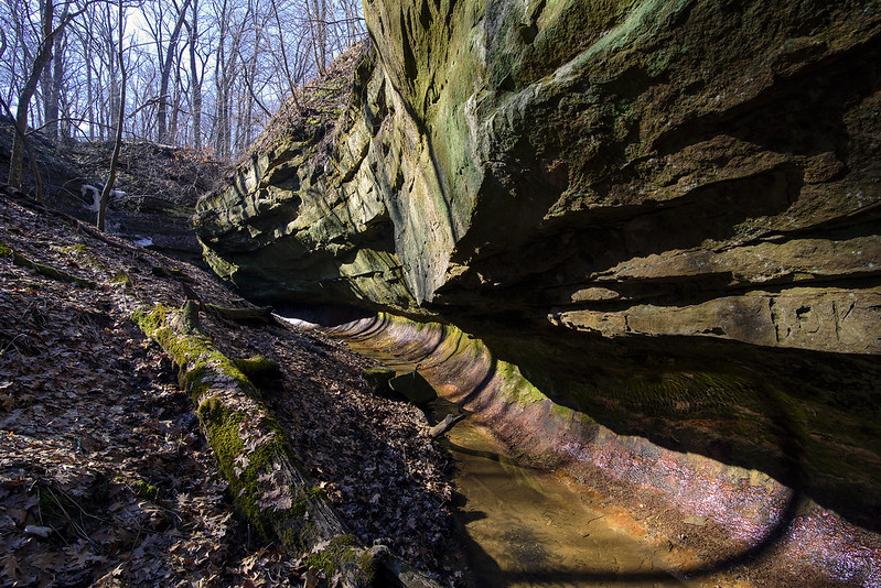
We began our morning hike on one of the five miles of trails, the one we thought would have the most interesting rock formations. Hiking the Punch Bowl Trail would take us through wooded ravines and canyons to a waterfall called the Devil's Punch Bowl. Before we explored the punch bowl, we headed to another interesting looking canyon with round, undercut walls. The undercut was most likely cut into the 300 million year old sandstone by rushing water.

Undercut Canyon

The shady canyon still showed signs of winter, with a frozen waterfall still intact. The bright sun and warm air was a big contrast to this winter water feature.
Undercut Detail

Hearing this park could be quite crowded in the warm months, and knowing some of these parks offer better views of the canyons when the trees are bare, we decided to visit in early spring. While the immediate landscape can appear a bit dull at this time of year, the surrounding landscape is visible without the foliage in the way.

This small canyon was just the beginning of our hike, and the rock features only got better and better as the day went on.

Sandhill Cranes

Sandhill In Flight

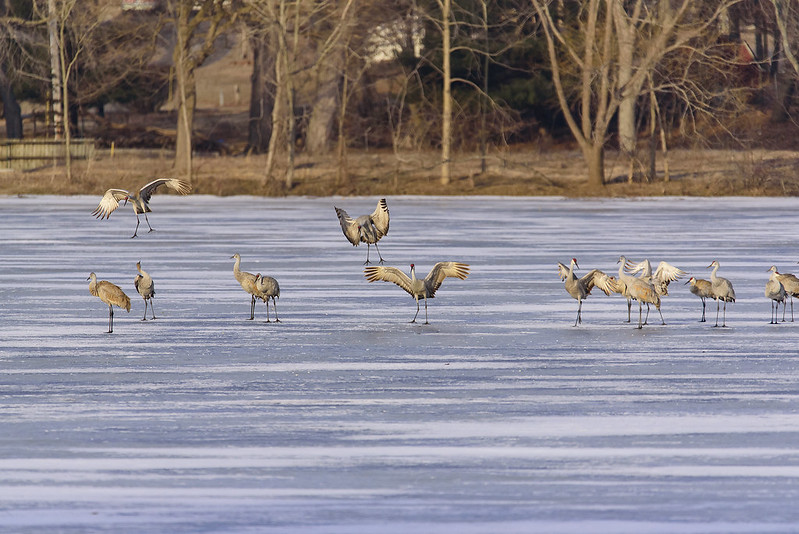
Each spring, thousands of Sandhill Cranes migrate through Indiana, and many make stops in rural LaPorte County. Hearing the calls late at night, I figured the cranes were spending the night on the frozen lake, and sure enough, in the dim light of the morning, I saw hundreds of cranes in two groups.

As the morning went on, the birds began leaving the ice, taking flight in small groups. Several flew directly overhead, so I couldn't resist capturing a few photographs.

Morning on the Ice

Their interactions are interesting to watch. In the photo above, the crane on the left looks over his shoulder to see another crane landing nearby. This was comical to me, as the groups of birds seem to communicate with each other on their way to the empty farm fields nearby to forage for food during the day.

Thousands of Sandhill Cranes pass through the area each year, and the Jasper-Pulaski Fish and Wildlife Area is a prime location to see them. The small lake in LaPorte County is about 45 miles northeast of that wildlife area, so that may be an indication of just how widespread the cranes are during the migration.

The cranes will linger in this area each spring for about three weeks or so, then the fields will be quiet again until next spring.

The Beginning of the Warm Up

The End of Winter>

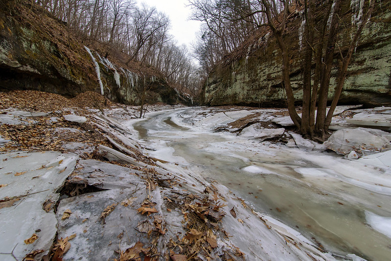
A little over a week before spring, the frozen canyons of Illinois receive a day of sunshine, the beginning of the warm up that would quickly melt the remaining ice and snow. Temperatures began to climb into the 40s while hiking through Tonty Canyon, in Starved Rock State Park. Crackling sounds were echoing off the rock walls, from the ice moving, cracking, and falling as it warmed up.

A few more hours of sunshine, and the creek would soon be a hazardous place to walk, the ice would soften enough for someone to fall through. This would most likely be the last time for walking on the frozen stream that cuts through the narrow canyon.

Winter Creek

The stream in Matthiessen Park's upper dells was also frozen on this day. Evidence of times with higher water could be seen along the bank of the stream. Large blocks of ice litter the area, once the top layer of ice on the water when the stream was flooded. Once the water level lowered, the ice lost support, cracked and fell to the canyon floor. These blocks of ice were around five inches thick, and some as long as 10 feet.


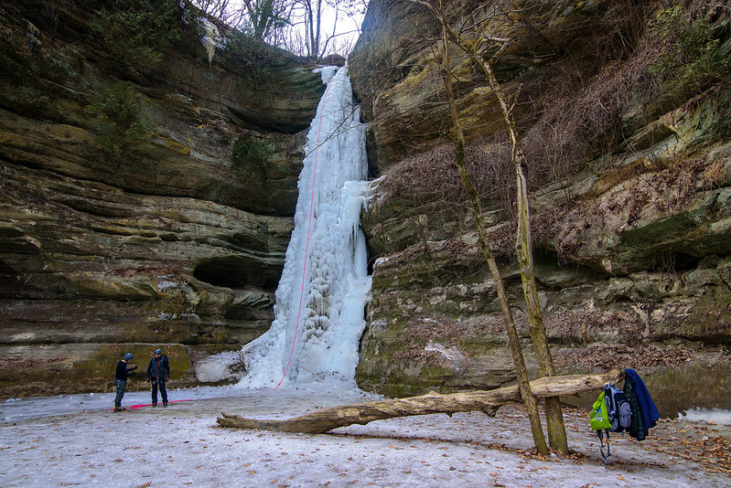
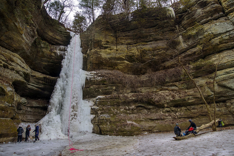
Climbing Wildcat Canyon

Above Wildcat Canyon

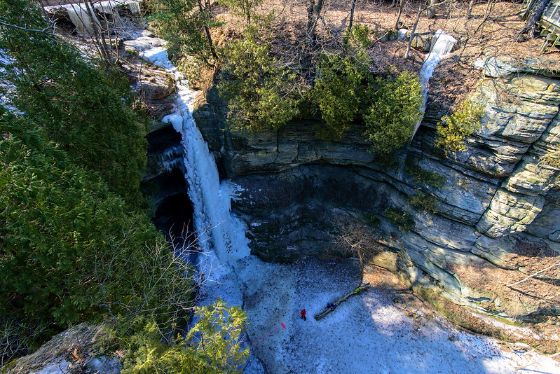
Each winter, the waterfalls in Starved Rock State Park freeze, creating beautiful ice formations that are fantastic to view, and when conditions are right, a lot of fun to climb. One of the most popular waterfall to climb is found in Wildcat Canyon. The 80 foot waterfall is a challenge many ice climbers can't resist.

Planning the Climb

This year, there were two frozen waterfalls in Wildcat Canyon, but the second looks a bit fragile, and probably was not strong enough to safely climb.

The waterfalls attract visitors all season, and the visitors are treated to an additional spectacle of people attempting to climb the slippery ice formations. Certainly not for the casual climber, ice climbing must be done using crampons, and ice tools similar to the ice ax used in mountaineering, but specialized for climbing. The difficulty of the vertical climb is increased by the cold air, the cold surface, and the constant running water around the ice. Keeping your arms over your head for long periods of time keeps the blood flow to them lower than normal, and this makes the hands colder and colder the longer you climb.

Resting Between Climbs

That said, ice climbing is certainly an appealing sport for those who crave adventure. The short ice climbing season in Illinois doesn't allow for much practice or time on the ice, but it does keep the passion alive and flowing all year long in anticipation of the next hard freeze.

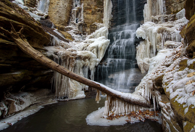
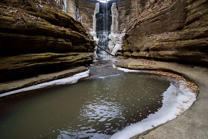
Melting Lake Falls

The Melt Begins
Winter is finally loosing it's grip on the frozen waterfalls of Illinois. Matthiessen's Lake Falls was running free on this morning, and the last of the ice remained clinging to the canyon walls, along the side of the rushing water.

The canyon here is natural, however the waterfall was created when a dam was built between this narrow passage. The canyon floor is riddled with potholes and textures formed by rushing water of the centuries, so it helps to know where you're walking in winter - where are the shallow spots, where are the deeper pools. Stay to the right for the most part.

Thawing Lake Falls

This waterfall attracts plenty of visitors, and is a beautiful place to visit in any season, but Fall and Winter are the most picturesque.

On this day, I had the canyon to myself, in fact, I had the entire park to myself for about two hours when a few hikers showed up. Winter seems to keep people away because of the cold, but even when the weather warms up a bit, the packed snow trails of these canyons makes walking difficult and sometimes dangerous. A good pair of ice cleats is a necessity.

I would guess most if not all of the ice around this waterfall is gone by now, and while I enjoy visiting and photographing the canyons in winter, I'm looking forward to warmer weather and some life appearing outdoors once again.

Climbing Tonti

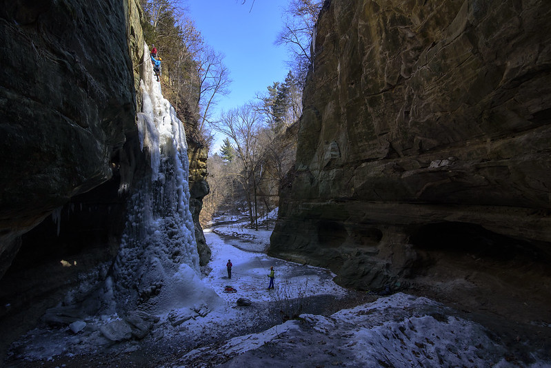
The Tonti Twins Tonti Canyon is an out of the way canyon within Starved Rock State Park. Out of the way because it's quite a hike from any parking area, and a broken bridge and closed trail makes the hike about a mile longer. Traffic is a bit lighter here, it seems people don't want to walk too far from the comforts of their cars, but they're the ones who are missing out. Through the Ice Opening If you look closely in all the photos here, you'll see ice climbers, and if you look carefully in the photo above, the climber at the base of the distant ice fall gives an idea of just how tall these ice features really are. The photo was taken from behind one of the waterfalls, and under the overhang of the canyon wall. This is the ice fall in this canyon that climbers trust and attempt, while the distant one may be a bit too weak to support climbing. Climbing Tonti's Ice Fall The climbers on the ice fall have almost made it to the top of the fall; once there, they will rappel down to the canyon floor and give the next climber a hand with the safety line. Ice climbing is much more difficult than it seems. The surfaces are very slick, usually wet with flowing water, and the cold temperatures of the air and the ice quickly take a toll on the climber. In addition, the arms of the climber are being used above their head, forcing the warm blood away from the extremities, quickly fatiguing the hands, and making them cold very fast. The ice climbing season in Illinois is quite short, and a good number of climbers take advantage of the brief window by climbing the impressive ice falls of Starved Rock State Park.

Summer vs Winter in LaSalle Canyon

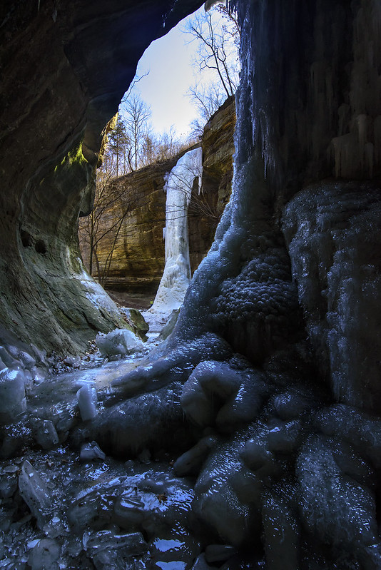
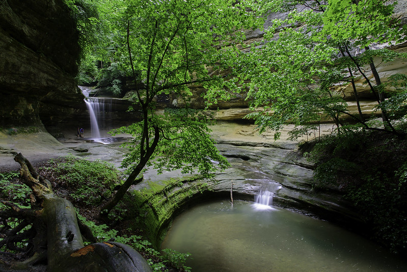
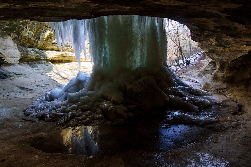
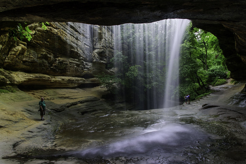
Entering LaSalle Canyon in Winter LaSalle Canyon is a treat to visit in all weather, and during all seasons. Last week's frozen waterfall images strongly contrast the photos I captured in the summer. The angles aren't exactly identical, but close enough to show the contrast between the warm months and the cold. First View of LaSalle Falls The photos below are views from under the stone overhang, behind the LaSalle Canyon waterfall. Under the LaSalle Overhang Through the Falls

Double Waterfalls in The Canyon Beyond Cedar Point

Flowing in the Canyon The canyon just across the stream from Matthiessen's Cedar Point has two waterfalls, and you can usually explore behind both of them. But this time of year, so much ice has formed, it's become too thick to allow anyone inside. I generally view this waterfall from ground level, but getting up on an old trail allowed me to see the canyon above, and the path the water takes to create this 12 foot tall waterfall. There are quite a few more waterfalls in the canyon above, but they would be a bit too dangerous to explore in winter. Double Waterfalls From the center of the canyon, both waterfalls can be viewed at once. While a relatively small state park, Matthiessen has six waterfalls to view in a relatively short hike. Be prepared to get wet feet most of the year if you wish to see them all. The Head of the Canyon From the head of the canyon, the first waterfall can be seen in the distance. This waterfall has a free-fall of about 16 feet, but begins quite a bit higher, with a cascade of around 20 more feet. These waterfalls don't flow too fast, but in winter, the small amount of water builds up over time, creating some interesting frozen waterfalls. Warm weather is approaching, so these falls won't be around for much longer.

The Dual Icefalls of Kaskaskia Canyon

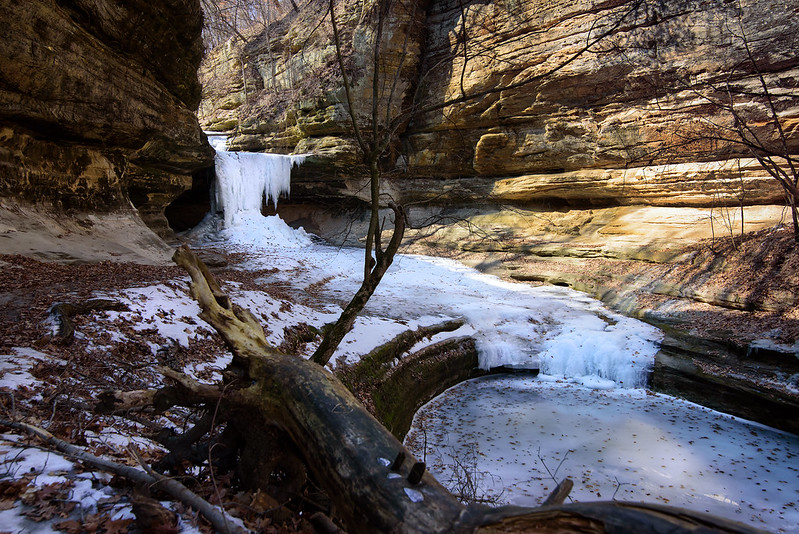
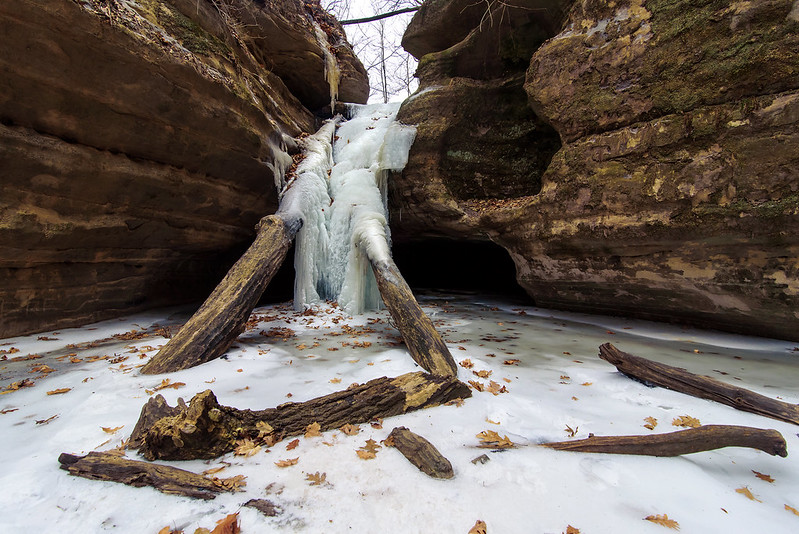
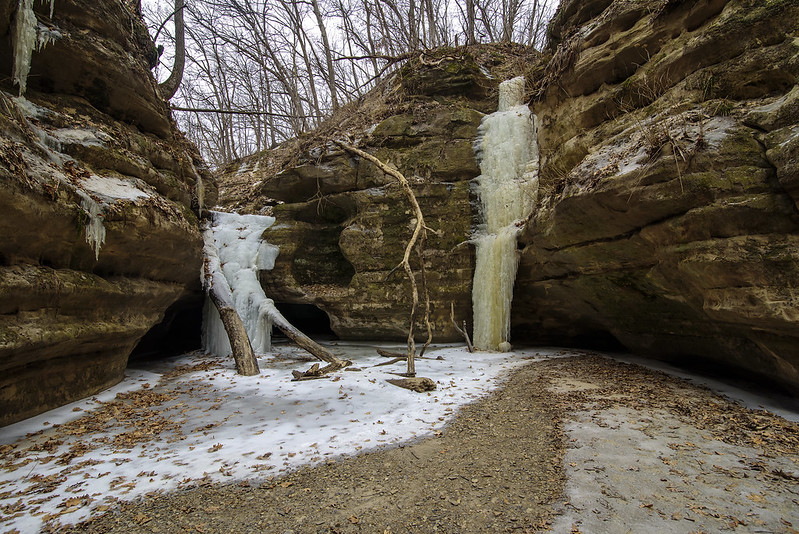
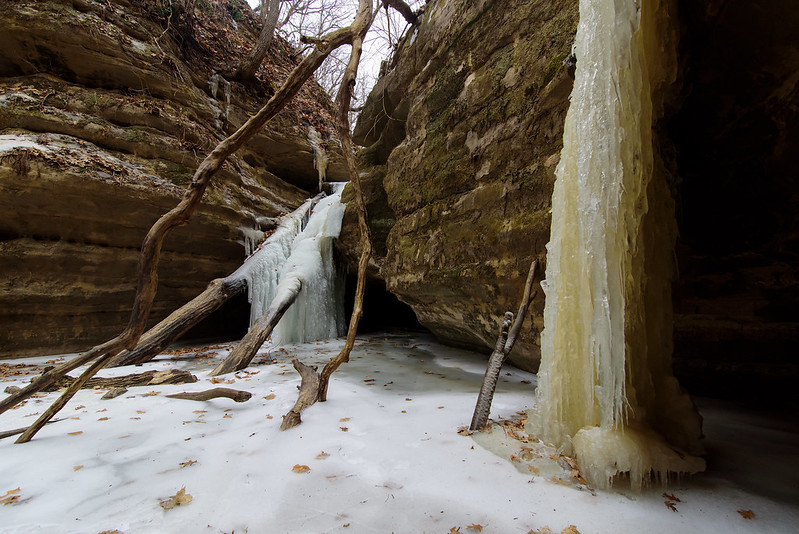
Kaskaskia Ice Fall After another week of very cold weather, the temperatures are set to climb above 40 for the next few days, so the icefalls of Illinois' Starved Rock State Park won't be here for much longer. I figured after the single digit temperatures this week, the falls would be frozen solid, and they were. Ever changing, they're never the same twice, even though this was my forth trip to the frozen falls this winter, it's still exciting to enter each canyon to see the ice formations. The Two Waterfalls of Kaskaskia Canyon On my last trip, I wasn't able to get to Kaskaskia Canyon because water from the melting snow filled the canyon floor. This time, the creek was still frozen solid, providing a good surface to walk on. "Good" meaning solid, but pretty much solid ice all the way. The pathways at the park were once packed snow, but that turned to very slick ice. Hiking some trails today without ice cleats was not only impossible, but very dangerous. Kaskaskia In Winter At this time of the morning, I was the only person in these canyons, so it's difficult to see how tall the waterfalls are because there are not people in the image for scale. The waterfall engulfing the logs is about 12 to 15 feet high. Nowhere near the tallest in the park, but certainly an interesting combination of ice, rock, and logs. The warm weather will certainly take it's toll on the icefalls over the next few days, but first, the creeks will begin to melt and flow, making it difficult to access some of these winter sculptures.
Ice Volcanoes

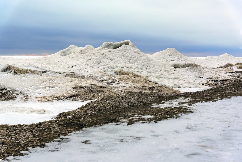
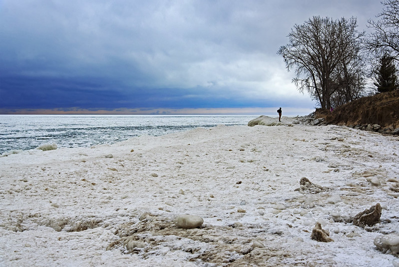
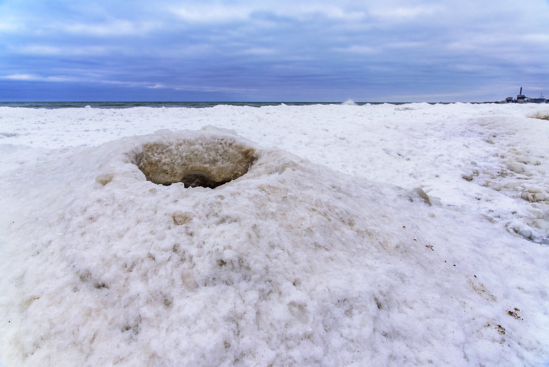
Ice Volcano The ice mounds along the shore of Lake Michigan form as the waves push the drift ice up on shore, or onto the shelf ice. The action of the water and waves creates mounds in a conical shape, where the splashing water comes from the center, and the ice is deposited around the center. This is the same action as a volcano basically, so these mounds are often called "ice volcanoes." These are interesting to view, but very dangerous to get near, or climb upon. The center of the ice volcano is empty, and leads directly to the freezing water below. These are especially interesting to watch when the water is still splashing up through the center. Standing on the Point Depending upon the weather, wind, waves, temperature, and even the shape of the beach, the ice forms in sheets or mounds. Here, the lake is mostly drift ice frozen together making something that looks like a solid sheet of ice, with only a few mounds along the shore where the waves once reached. Those mounds on the shore are magnets for visitors taking photos of themselves and their friends. The mound this person is standing on is actually on the shore and quite safe, however, it was very slippery, and slipping off the edge toward the lake would result in a very cold plunge.
The Difficult Path Ahead

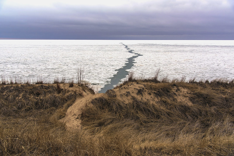
The Difficult Path Ahead While walking along the frozen shore, we came upon a rift in the drift ice on Lake Michigan. The ice looks static, but if you visit the beach in winter, you'll realize it's almost always moving, and here is a place where forces pushed the ice apart. If you look closely, you'll notice the right side of the ice rift fits perfectly into the left side. This is sort of like a fault in geology, where the plates are pulling apart. What I found interesting is the path through the dunes to the beach seemed to lead directly to the rift, making the two appear to connect, and lead right to the horizon. Of course this is not the case, but from the top of the dune, the beach below can't be seen, and the rift looks as if it touches the dune. Over time this break in the drift ice will change. It will most likely get wider for a time, then the open spaces will ice over or fill with other drift ice pushed in by the winds over the lake.
Ice As Far As The Eye Can See

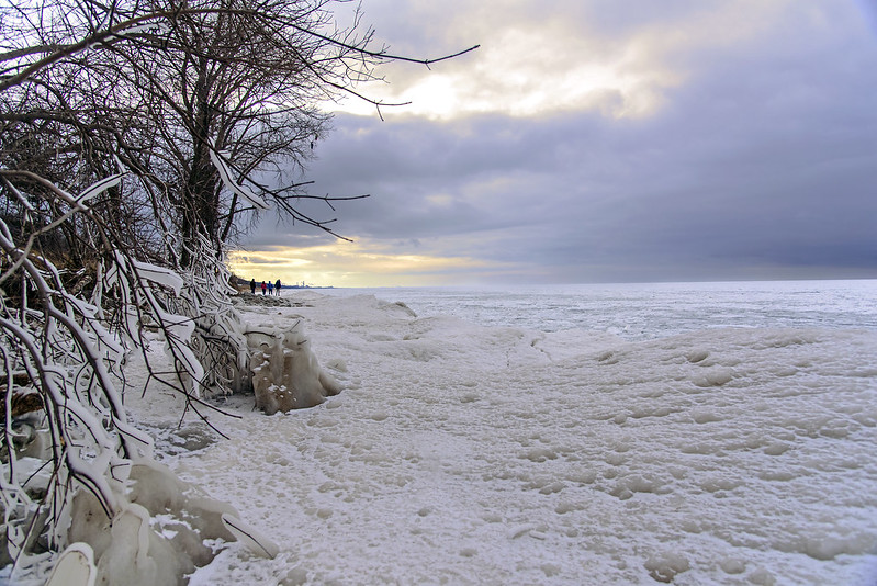
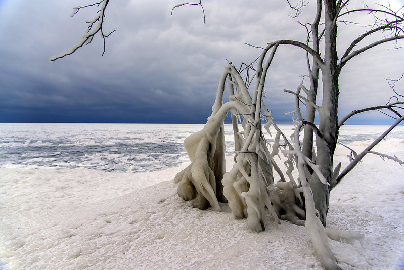
Viewing The Frozen Lake Winter changes the lakefront by the minute at times. I can't resist stopping by the lakeshore every time I pass nearby, the changes are often remarkable. Just last week, there was little to no ice past the shore- most likely pushed away by south winds. Steady winds from the north and west pushed the drift ice toward the shore where it bumps and combines with other drift ice and the shelf ice along the beach. These mounds entice visitors to check them out closer, but with the recent drizzle and warmer temperatures, the surface has become smooth ice, and very dangerous to walk on. One slip, and you'll continue to slide onto the drift ice below, and the drift ice won't hold much weight, so you'll continue into the cold lake. Snow on the Horizon I encounter so many people walking on the ice every time I visit, or at least thinking about heading out. It really does look thick and safe enough to venture onto, but it's not. Here the high waves and winds from last weekend are evident by the ice encased tree in the foreground. This tree is about 50 feet from the water, but waves and wind drove the water this far up onto shore. We're looking at below zero temperatures tonight, and for the next three days, so we'll just have to see what the lakeshore looks like after this deep freeze.

The Winter Sky

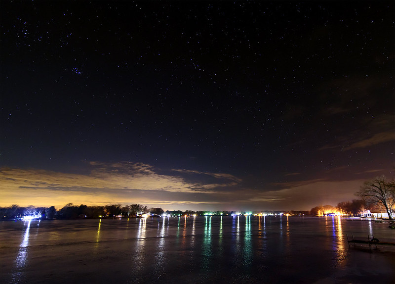
A Winter Night at the Lake In between clear, warmer winter days, and cloudy, bitterly cold days, we set out for rural LaPorte County. The forecast called for clouds and some snow, but when we arrived, the sky was mostly clear. Once settled in, we ventured outside to check the thickness of the ice on the lake. The colorful lights from the homes across the lake reflected onto the textured ice, while the stars above shined brightly in the dark sky above. The lights from the city of LaPorte, and far away Chicago, illuminated the horizon, blocking out the stars low in the sky, but giving it an interesting transition between the light and dark. The snow arrived after 3am, but never amounted to anything. Throughout the day, flurries continued, giving distant objects a washed out appearance, but one could hardly notice the snow falling at all. Temperatures are expected to drop considerably over the next two days, back down near zero. We'll see how the ice looks after this deep freeze.

South Haven Drama

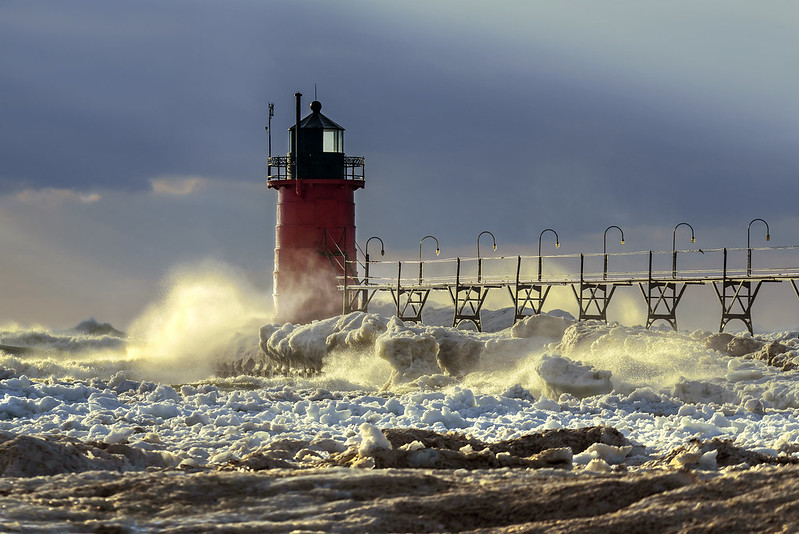
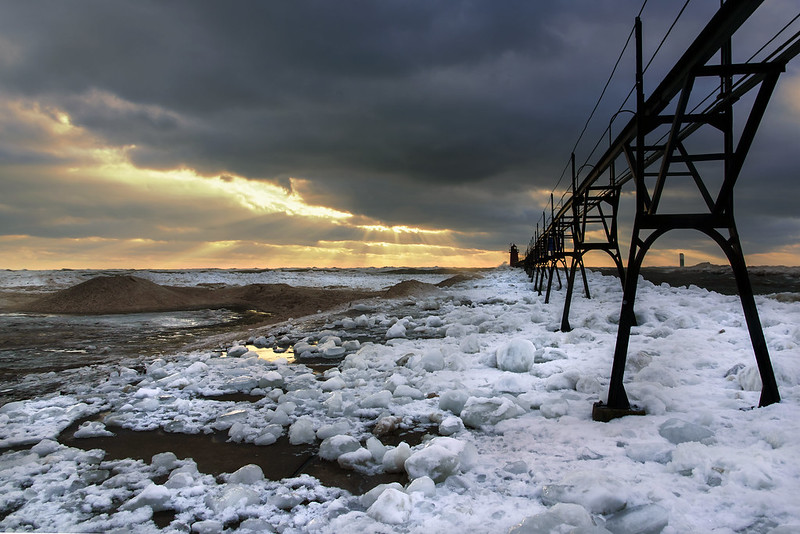
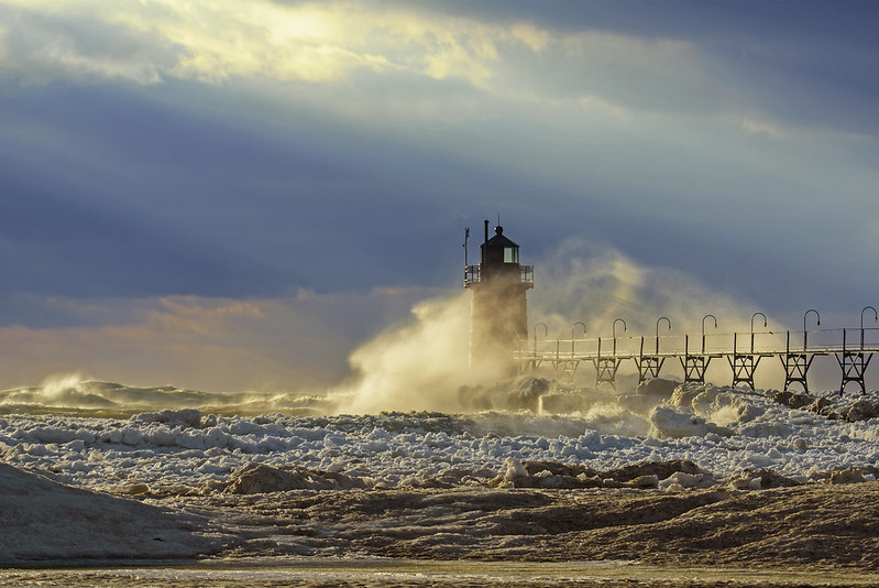
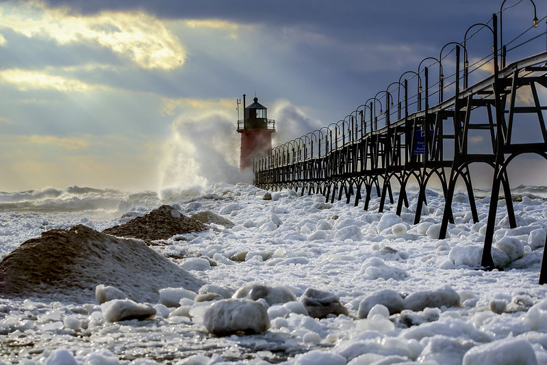
South Haven Light The sky and sunlight changed as fast as the winds blew on this stormy February afternoon. Wind gusts over 50 MPH created plenty of drama in the sky as well as on the water, with waves crashing into the shelf ice, shore, and pier of South Haven, Michigan. Happening in mid winter when the shore is mostly lined with mounds of shelf ice, beach erosion is actually kept to a minimum because the shore is buffered by the ice formations. In warmer periods, a good portion of the beach can erode away in just one day. As the sun poked through the heavy clouds, it highlighted the ice, water, lighthouse, and splashes on the pier, providing a great contrast against the cold snow and ice. Drama in the Sky Stepping back to take in more of the pier, and using a wider lens, more of the dramatic sky could be seen behind the pier and lighthouse. The beach parking area was quite crowded with spectators out photographing the waves. Most did not venture out of their cars, but those who did, got to experience intense wind gusts exceeding 50 MPH. Sand, acting more like a light snow, was blown from the beach down the nearby streets where it collected along the curbs and in every place exposed - including my ears!

Relentless Waters

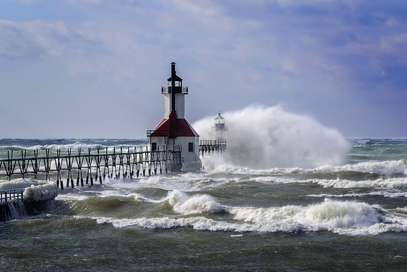
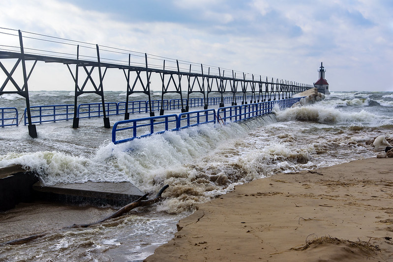
Relentless Waves Recent high winds created plenty of drama on Lake Michigan last weekend. Large splashes could be seen from far away, as the waves crashed into the end of the pier, engulfing the outer lighthouse in a shroud of water. While I've witnessed much larger splashes against this lighthouse over the years, this day was one of the windiest I've experienced on Lake Michigan. Only two other days I've seen would rival the winds on this day. Surge The gale blew most of the night, into the next day, churning up Lake Michigan with waves reported as high as 20 feet. This pushes the water toward the shore, and when it's this high, it pushes the water up the river, and over the pier. This relentless action has eroded the sand next to the pier, exposing utility conduits, and undercutting the concrete walkway. The couple of hours I spent on the shore were spent constantly wiping the water droplets from the camera lens - even when quite far away from the water. The rest of the night was spent cleaning sand from everything, including inside my ears. I'm sure I'll continue to find sand in every piece of gear for the next few weeks.

St. Joseph Gale

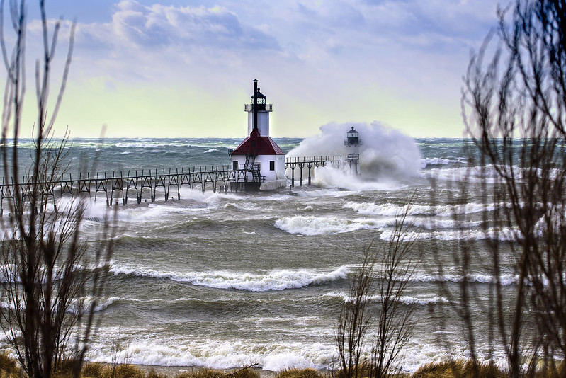
St. Joseph Gale The range lights marking the entrance to the St. Joseph River at Lake Michigan take a pounding by the high waves of the lake. Gusts exceeding 50mph churned up the water and pushed it inland and over the pier, washing away quite a bit of sand in the process. A good amount of the shelf ice along the shore either melted, or was washed away by the high waves. Waves Pounding the Outer Light The 35 foot tall, newly restored outer lighthouse still leans a bit, but continues to withstand the winter storms so common to this area. As the waves hit the end of the pier, they create dramatic splashes that engulf the lighthouse and wash over the pier. It's this precise action that often creates the thick layers of ice seen on the lighthouse and pier. The high winds and waves brought out dozens of people eager to witness the power of the wind and water; many of whom stayed in their cars to avoid the wind, cold spray, and blowing sand.

Winter Winds

Winter Winds Hearing the forecast of 60 mph wind gusts, I made plans to head out to the Michigan shore of Lake Michigan - hoping for high waves. When I arrived, I was not disappointed. While I can't say this was the windiest day I've seen on the lake, this was certainly one of the most dramatic days on Lake Michigan I've experienced. South Haven, Michigan still had quite a bit of shelf ice along the shore, and even large chunks of drift ice floating in the Black River. The high waves tossed the car-sized ice chunks up over the railings of the river walk. At times, it was difficult to walk and stand still because of the winds, and the sand being kicked up into your face. As usual, if you can make it close to the water, there is no sand to blow into your face, you only need to worry about the water spray on the camera lens. Arriving around 3:00 pm local time, the sky was mostly cloudy, but as I walked the beach, the sun began to peek through the clouds and illuminate the waves and spray. The scene takes on an entirely different look as the sun goes in and out, and it becomes more difficult to photograph each time the light changes. splashsm I suppose the spray will begin to freeze onto the lighthouse and catwalk surfaces if the winds continue through the night. The ice boulders have already deposited on the beach and pier, making the walk to the beginning of the pier difficult, and the walk to the end of the pier impossible - at least until the waves subside. Temperatures were in the low 30s but with the high winds, the "feel-like" temperatures were around 8 degrees. In very little time, exposed skin began to freeze, and even through gloves, my hands were numb in just ten minutes. If you've never experienced winds such as these by Lake Michigan, I encourage you to seek out days like these in the future; it's like nothing you've ever seen before.

Snow and Shadows

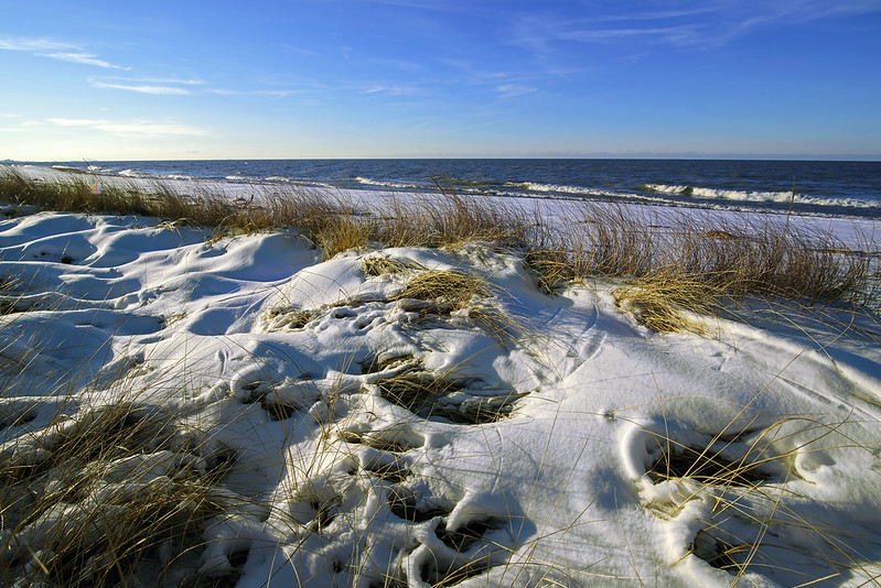
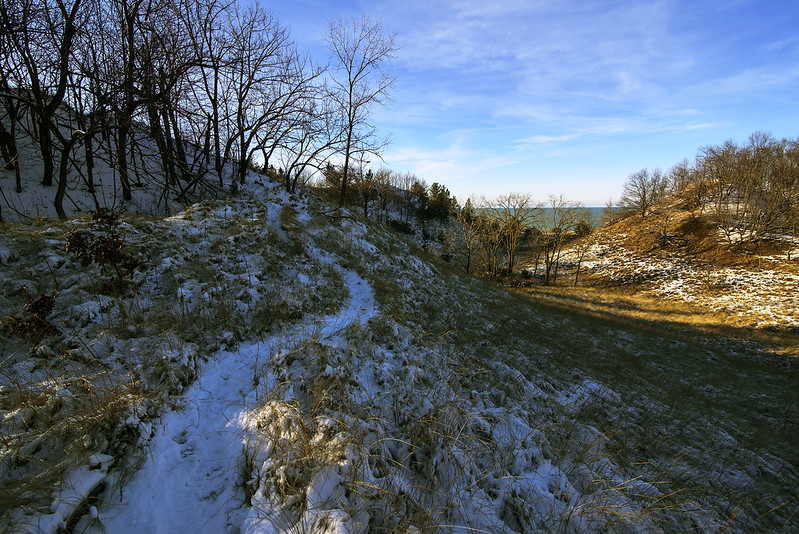
Snow and Shadow Freshly fallen snow combined with the sun shining at a low angle, highlight the subtle contours and textures of the landscape of the Indiana Dunes. Lake Michigan makes the perfect background, the blue contrasts the bright snow, but matches the colors of the shadows in the snow. Even this small amount of snow makes hiking more difficult- especially when the ground is frozen solid. The normally soft sand becomes a solid, icy surface beneath the slippery snow, making hills challenging to climb and descend. Light After the Shadows Regardless of the snow, we still kept pace and hiked a few miles though the rolling hills of the dunes. A new view greeted us around every turn, and over every dune. All the while, Lake Michigan kept us company, first next to us, then a distant object looming in the distance. We wandered in and out of sun and shadow, keeping watch on the warm tones the sun gave to the dormant grasses and trees. I certainly look forward to the spring, when the tones aren't the only things that are warm.

Distant Lighthouse

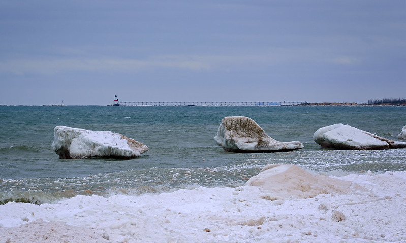
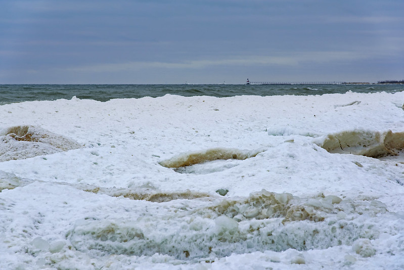
Remnant Ice The Michigan City, Indiana East Pierhead Lighthouse seen over the shelf ice on the Lake Michigan shore. This lighthouse is seen from Central Beach, Part of the new Indiana Dunes National Park, formerly the Indiana Dunes National Lakeshore. The beach is showing signs of erosion, in fact, many of the trails on the dune ridges are long gone, they tumbled into the lake years ago. The shelf ice helps protect the dunes during the windy winter months, keeping the waves from washing away any more sand. Perhaps the park's new status will aid in beach restoration processes and these sand-starved beaches will once again become wide. Icy Lake Over the past few weeks, the ice on the lake has grown and melted. The weather over the next few weeks will determine how much the shore will change during the remaining weeks of winter.

Lake Michigan Shelf Ice

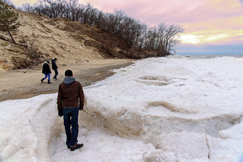
Checking Out the Ice MoundsEach winter, the waves of Lake Michigan crash onto the beach and freeze into large ice mounds. Some years, these mounds can reach a height of 15 feet or more, and extend into the lake as far as the eye can see. This year, the ice isn't that tall or that wide, but it's still impressive if you walk along the shore. Walking on this is can be deadly, and should never be done. Knowing this beach very well, and being able to read the shore and ice, I can tell the first ice mounds on the beach were actually on the shore and not over water. These mounds formed early, before any shelf ice formed into the lake, so the splashing water created mounds on the sand, a few feet from the water's edge. So, where we were standing in the photo above, was on the shore, and not over the water. If you're not familiar with the beach, don't even walk near this ice, the churning water can deposit sand and stones on the ice, making it appear as if you're walking on the sand, but in fact you're walking on the ice. Ice Mounds A close-up of one of the ice mounds gives a bit of information about how it was formed. It appears a lot like a volcano, and it's formed by similar physics. The water and ice splash up and begin to form a cone, and the cone grows in size until it becomes wider than the ice can be thrown by the water. At that time, the ice begins to build out into the lake. So these ice mounds form next to one another and extend far out into the lake. Ice and snow often cover these holes and cracks, making them difficult to see. One can easily step into them and fall through the thin ice, into the cone and into the freezing cold water below. There's really no way out. Ice Locked Shoreline At this time of the winter, the ice only extends about 100 feet into the lake. It appears it was a bit wider a few weeks back, judging by some of the lone ice chunks standing in the water past the shelf ice. If you visit the lakeshore in winter, please remember to stay off the ice at all times. It may be 10 or 15 feet thick, but there are so many cracks and holes you don't see that lead to the frigid water below