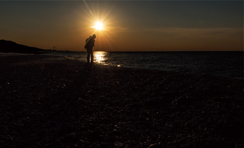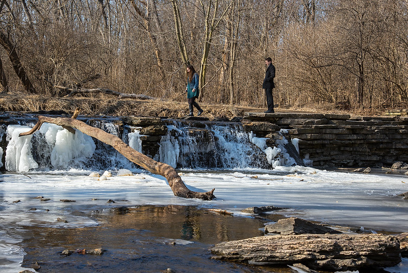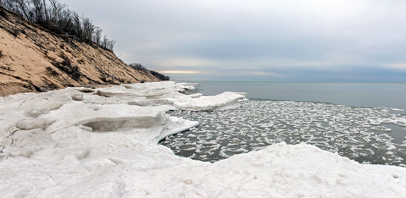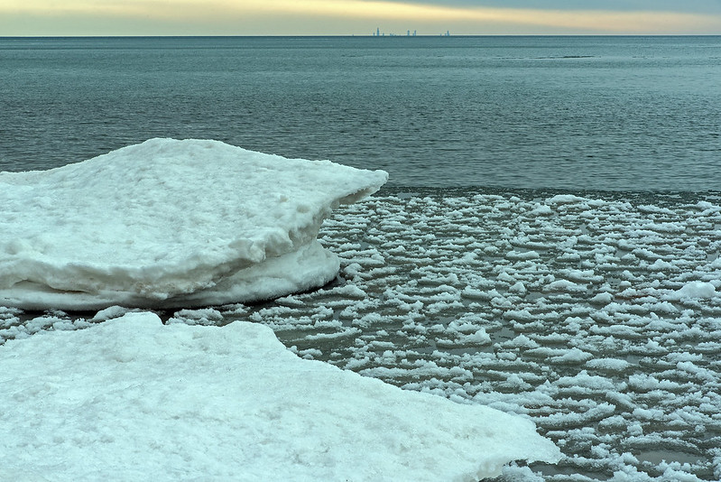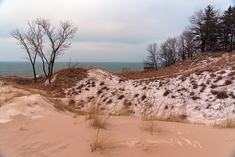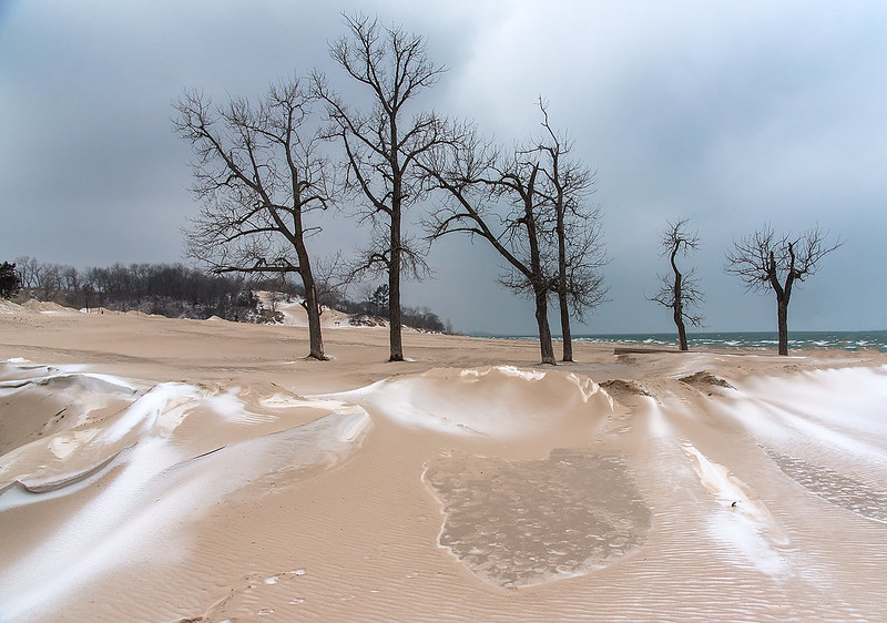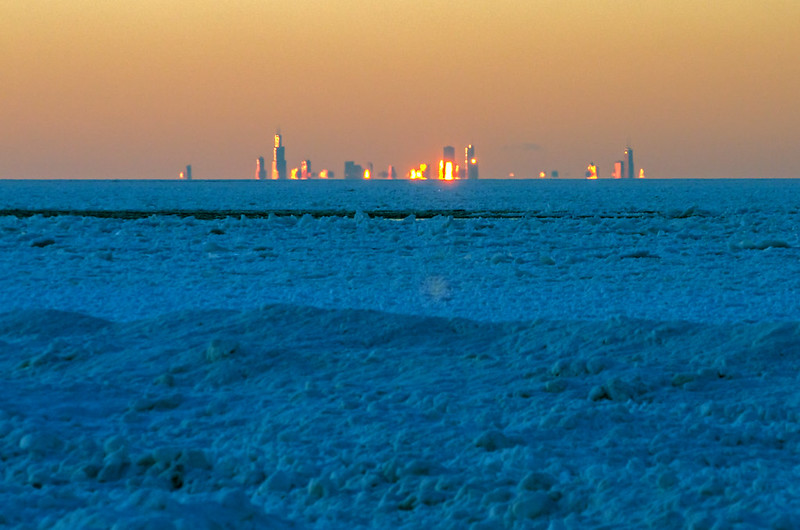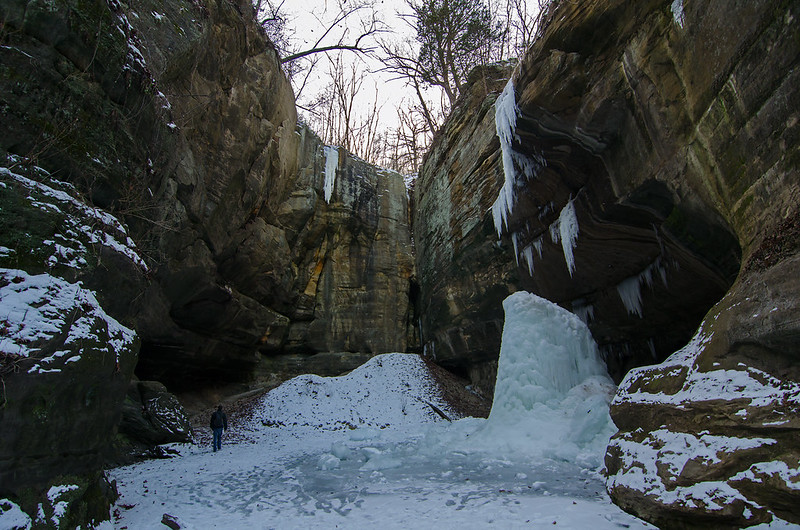
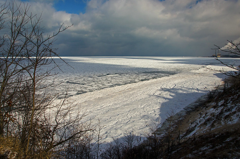
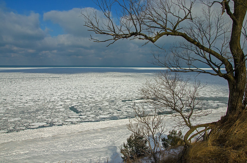
10 degree weather and high winds are not necessarily ideal conditions from a walk on the beach, but it was certainly worth the mile hike to view the frozen lake. With the recent cold spell, Lake Michigan has begun to freeze. Shelf ice extends about 100 feet from the shore, where it meets up with pancake and drift ice as far as the eye can see.
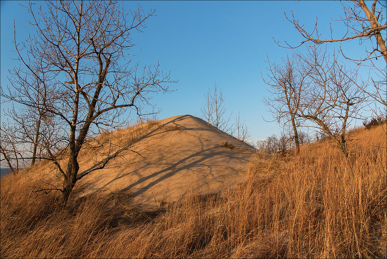
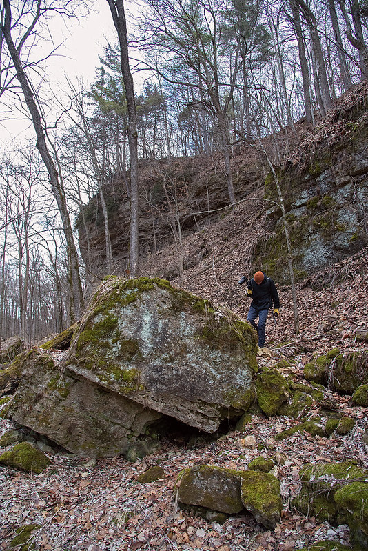
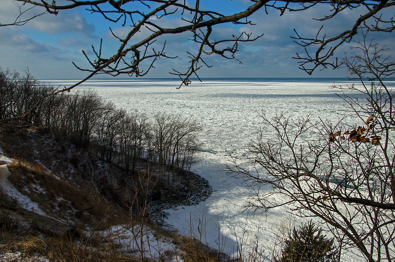
Walking on the beach, you can't really see the ice on the lake, you need to get above the mounds of shelf ice, and the perfect place for a great view is atop one of the dunes. Most dunes in the Indiana Dunes National Lakeshore are off limits to visitors, leaving only a few open to foot traffic. In fact, many dunes that were closed to foot traffic because of fear of human erosion, are now collapsed and in the lake due to the lake itself, not foot traffic.
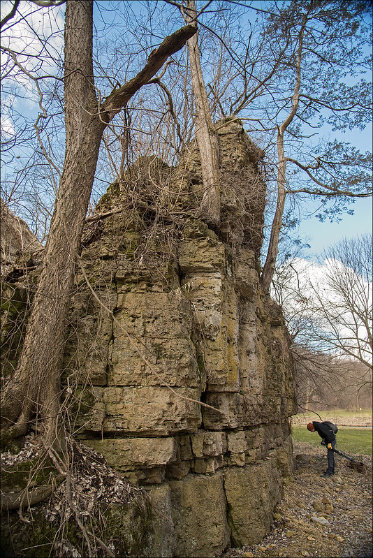
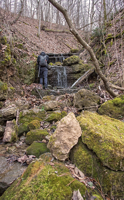
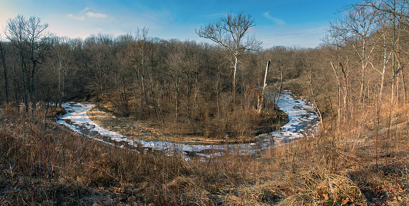
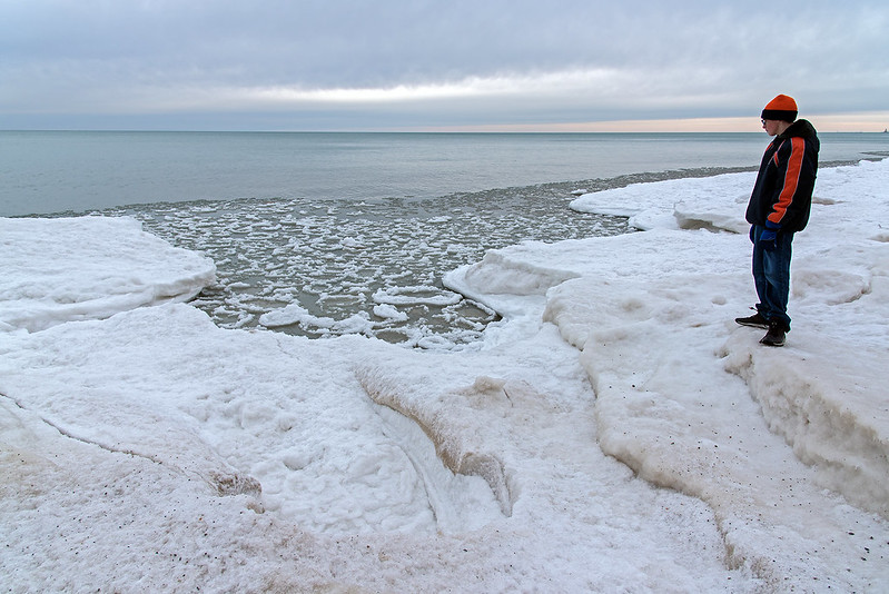
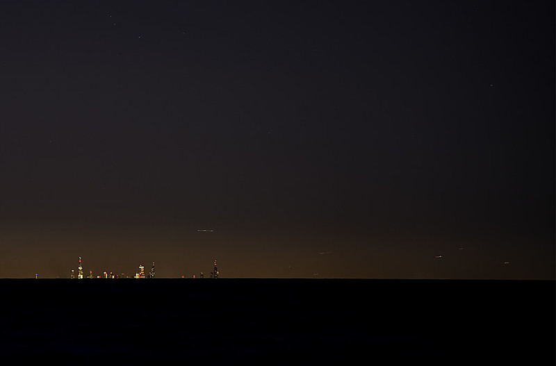
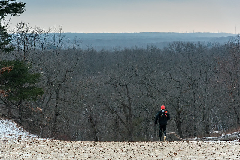
We walked about a mile down the frozen beach until we exited the National Lakeshore, where we climbed a wooded dune near the residential area. This area offers a great view of the lake, beach, surrounding dunes, and, in winter, the ice along the shore
While the ice is always interesting from this vantage point, to me, it's most interesting when the sun is shining. The flat light of a cloudy day does not bring out the details and dimension of the ice, but the sun and shadow does. This afternoon, the sky was partly cloudy, with lake-effect show showers just to the east, and the shadows from the clouds can be seen on the drift ice. The shadows of the dunes of nearby Central Beach can also be seen on the ice.
A few more weeks of cold weather, and the ice will continue to grow as the wind and waves pile up the drift ice along the shore of Lake Michigan.

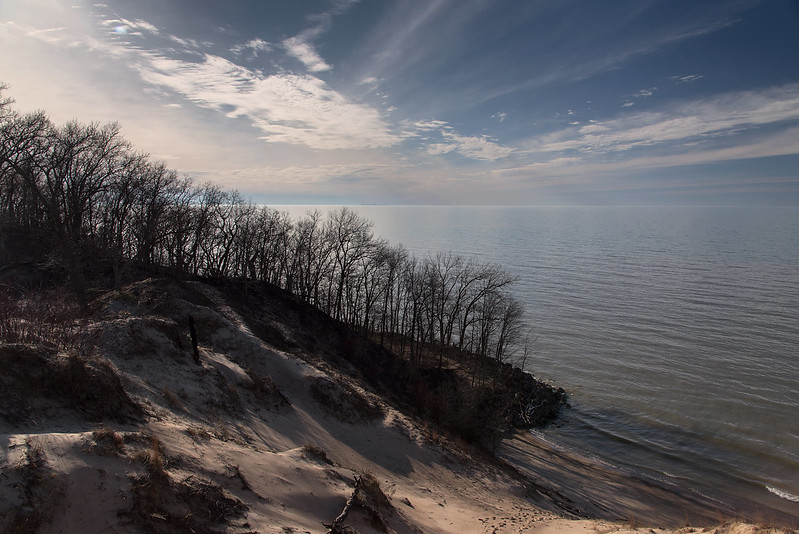
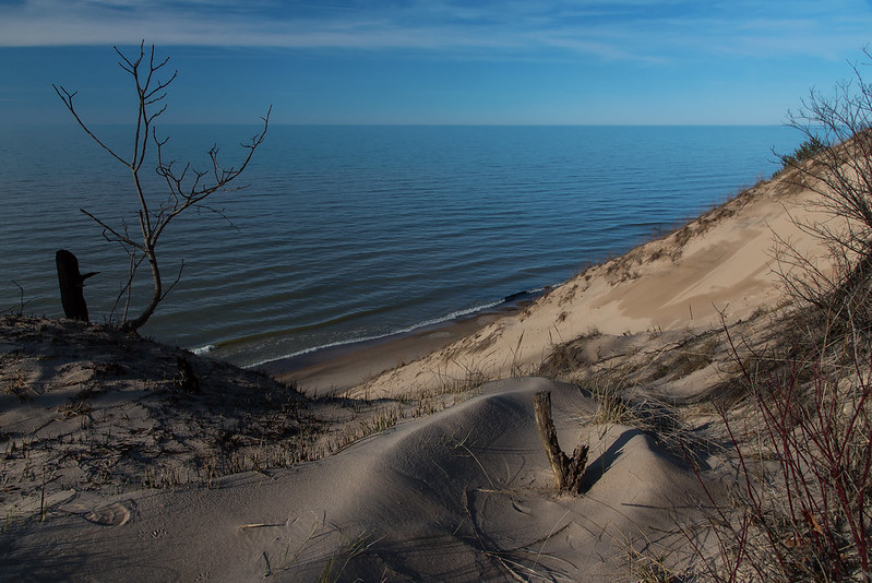
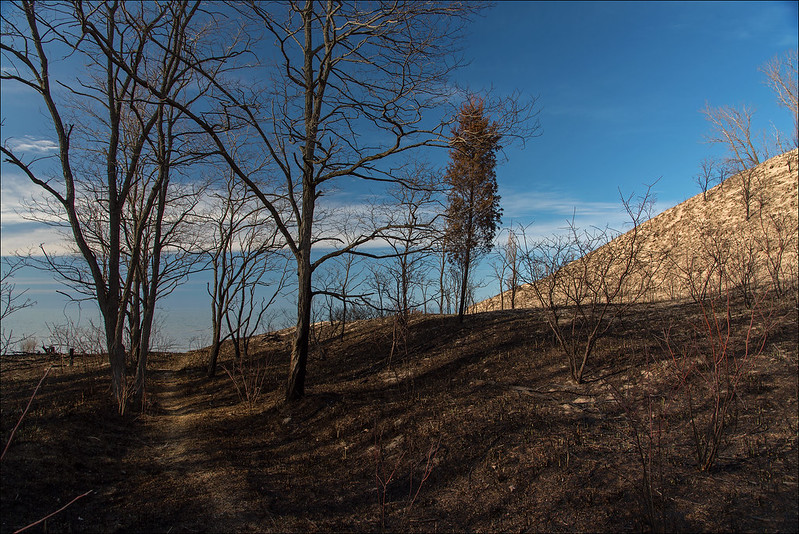
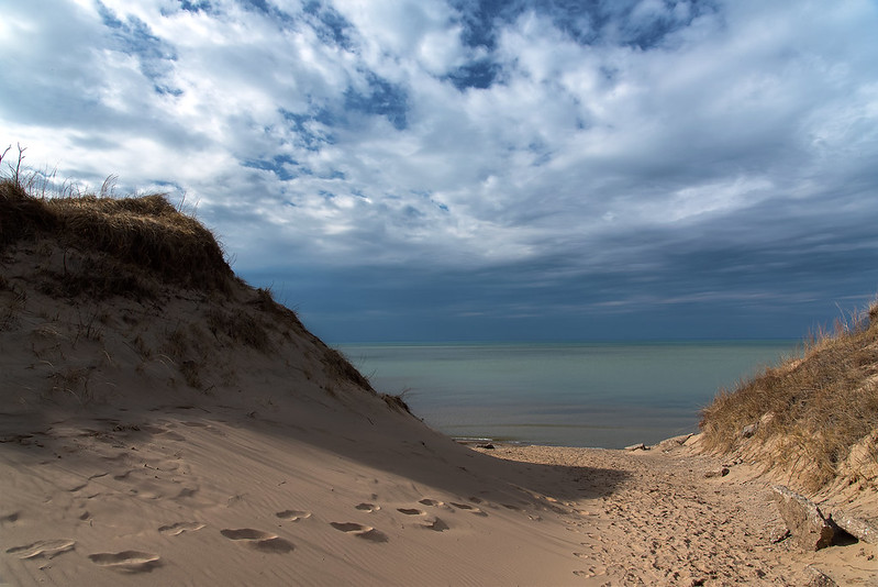
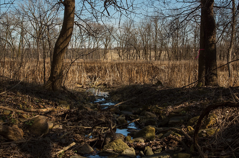
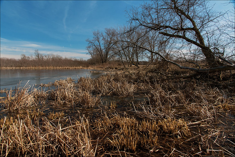
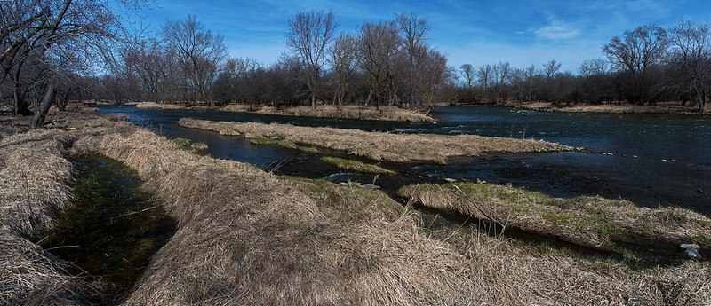
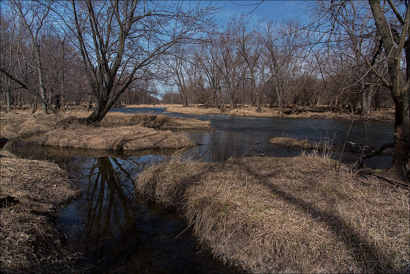
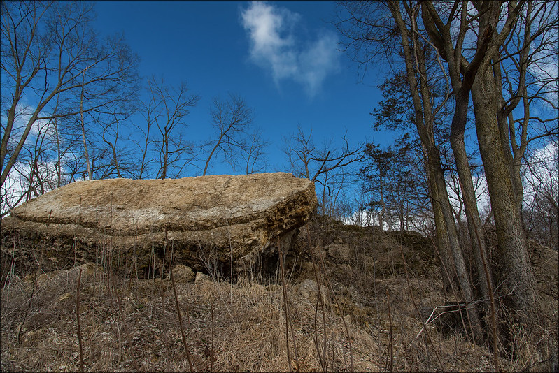
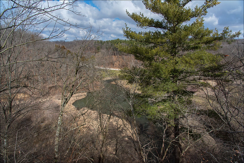
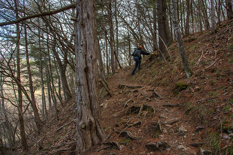
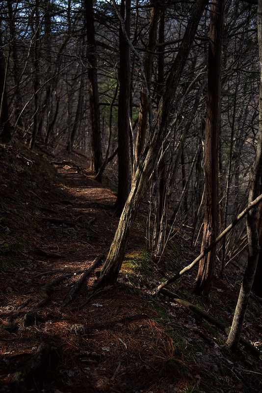
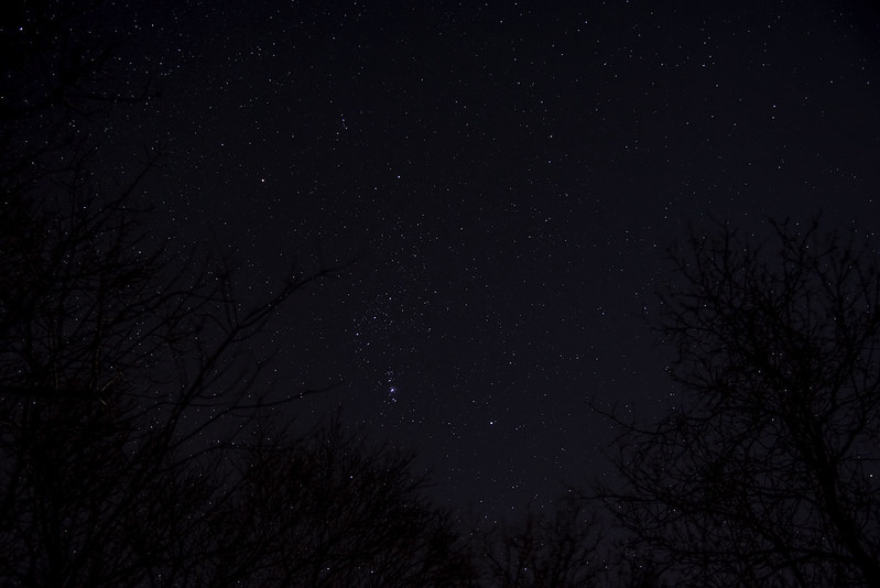
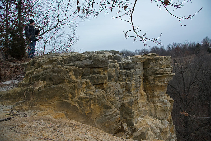
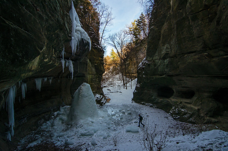
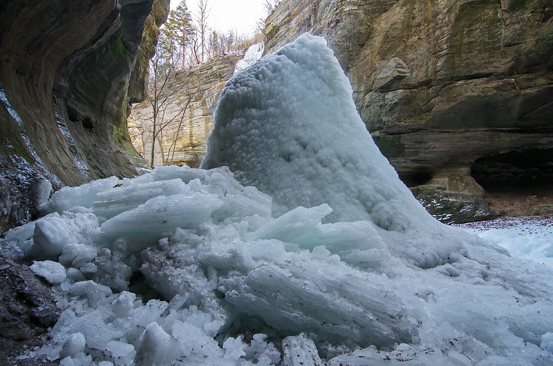
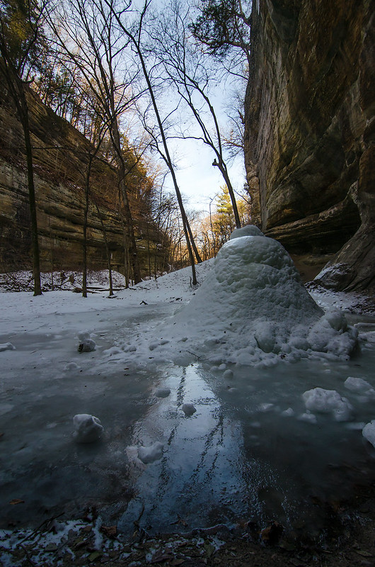
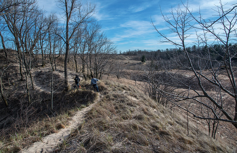 An evening hike through the dunes along Lake Michigan - an unusual time for us, as we generally hike in the mornings. We followed the narrow, meandering trail from the beach, through the wooded dunes, along the ridge, and finally through the grassy plains, It's interesting to watch this area come back to life after the winter, the brown grasses shining in the sunlight, will soon green up, as will the trees dotting the dunes.
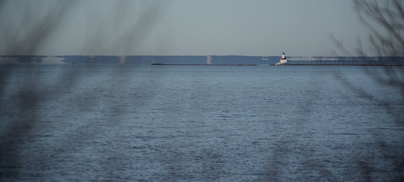
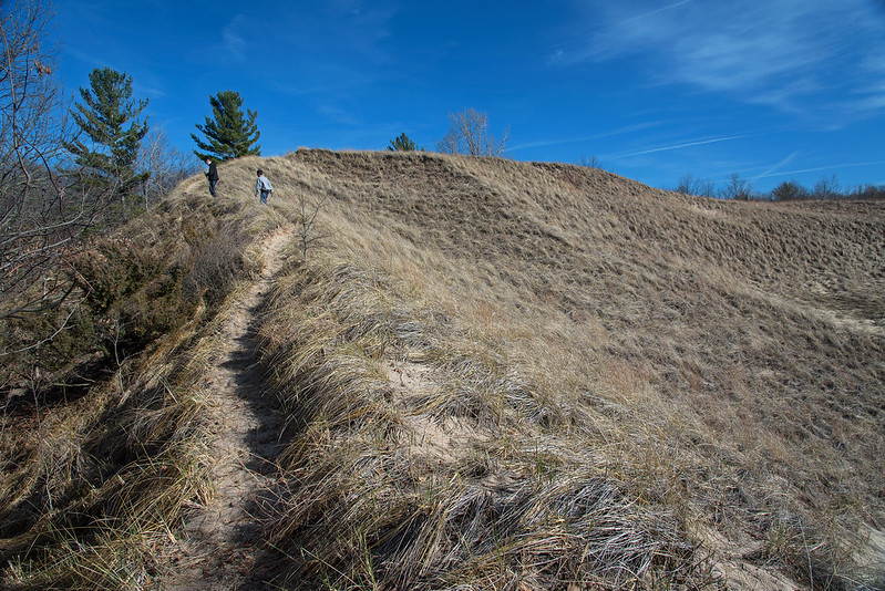 This place never seems to get old, and always offers us something different no matter how many times we visit. Behind us are the vast waters of Lake Michigan, offering plenty more interesting views.