Lost Horizon

Lost Horizon

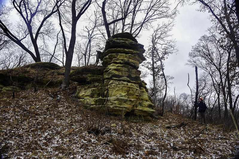
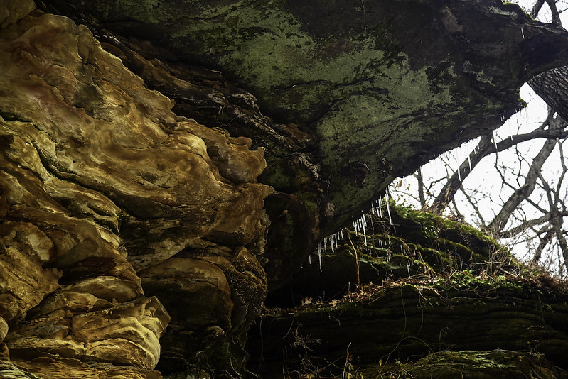
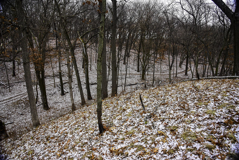
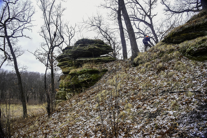
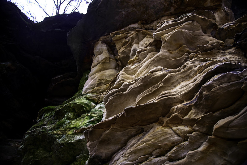
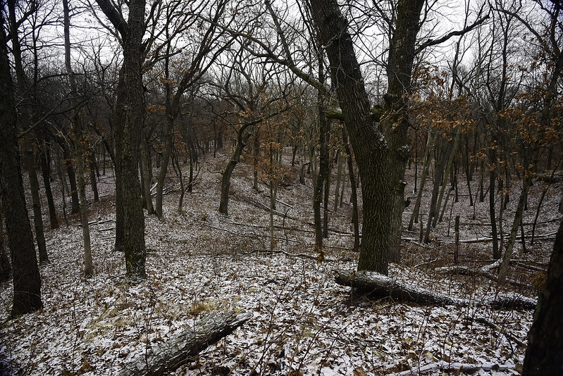
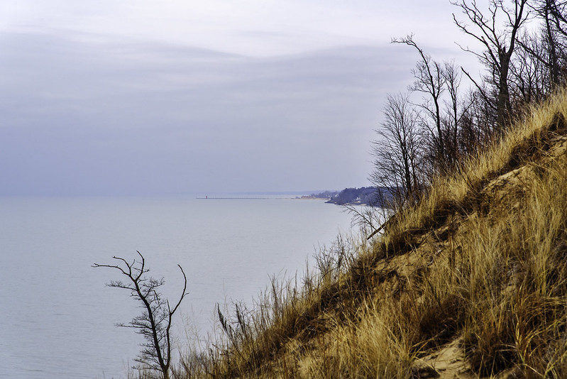
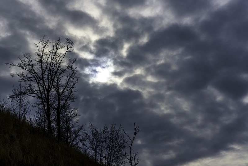
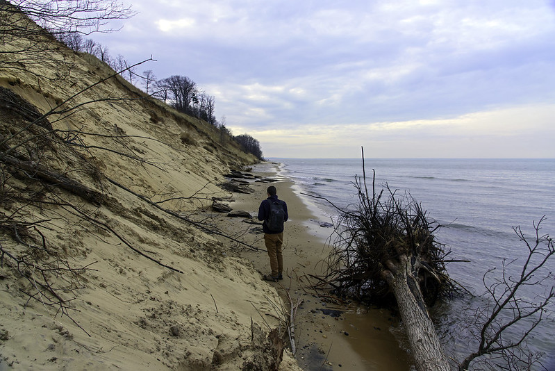
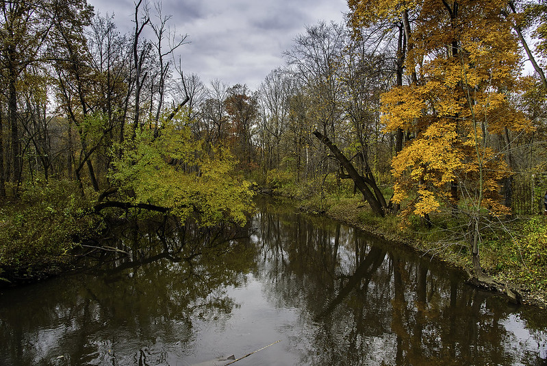
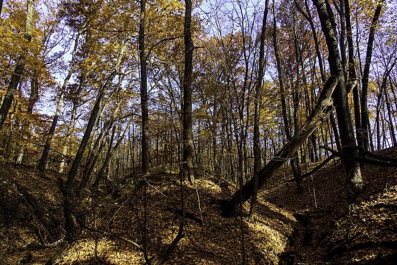
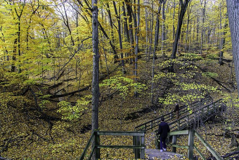
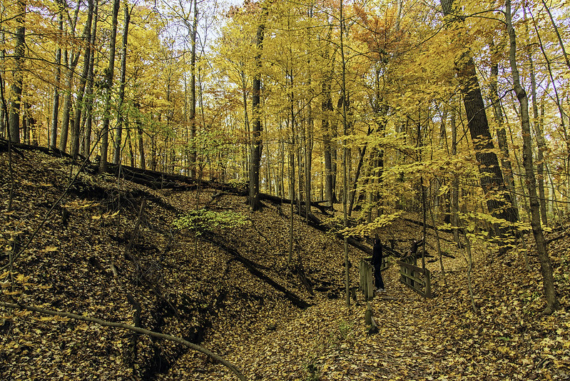
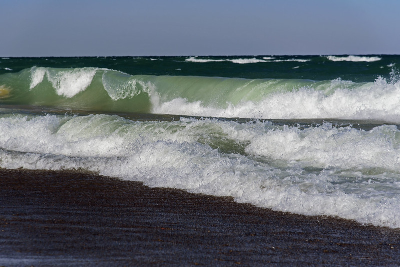
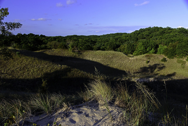
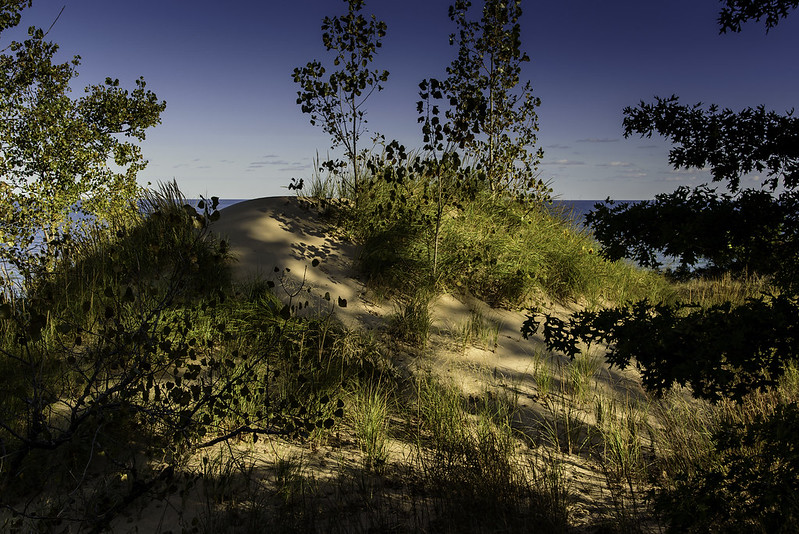
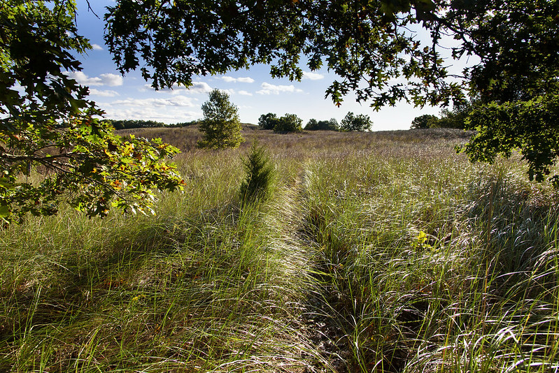
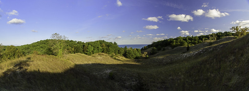
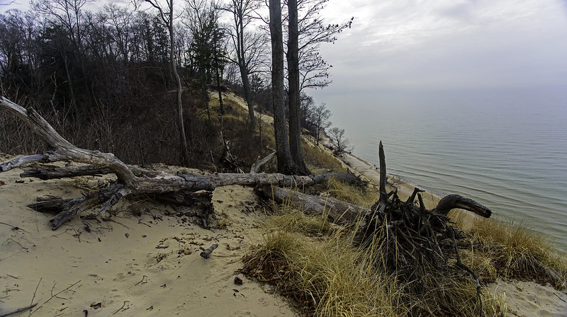
While hiking the rugged dune ridges parallel to Lake Michigan, the horizon seemed to disappear, was lost in the overcast sky. At times, it completely disappeared, which make our hike a surreal experience - imagine hiking along a wooded ridge with a vast open area next to you with no bottom and no top - that's how it appeared at times.

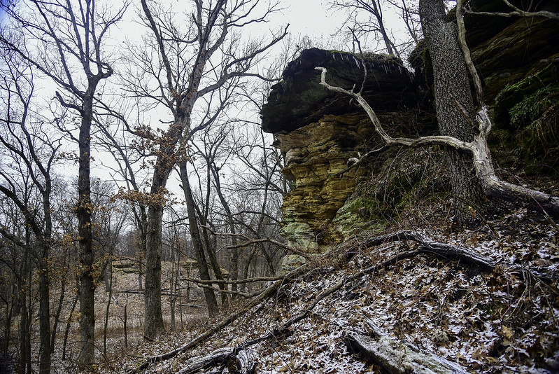
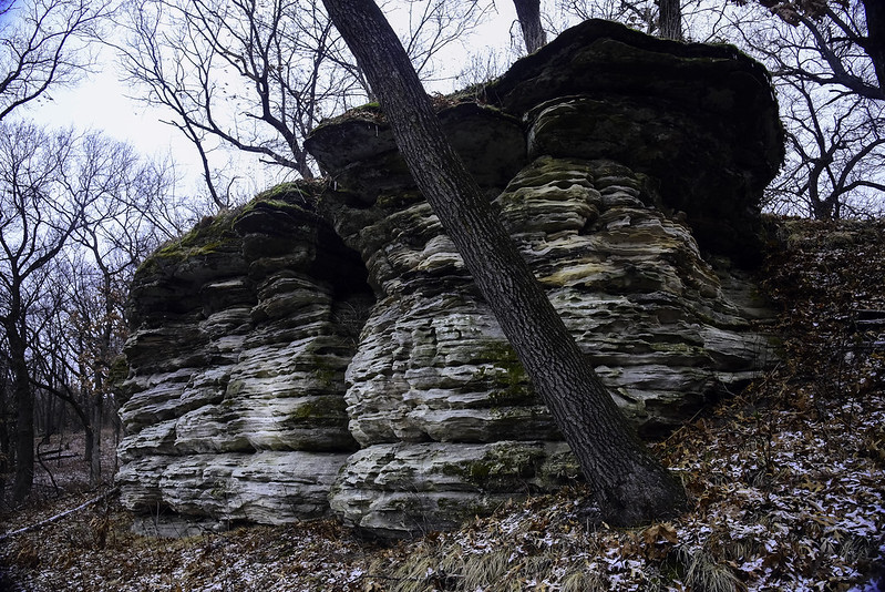
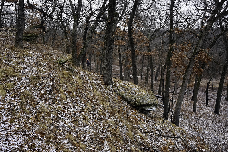
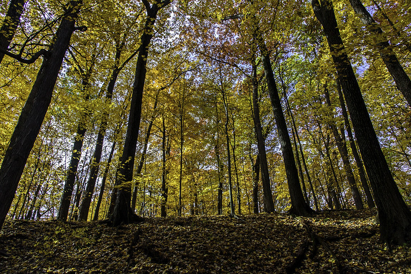
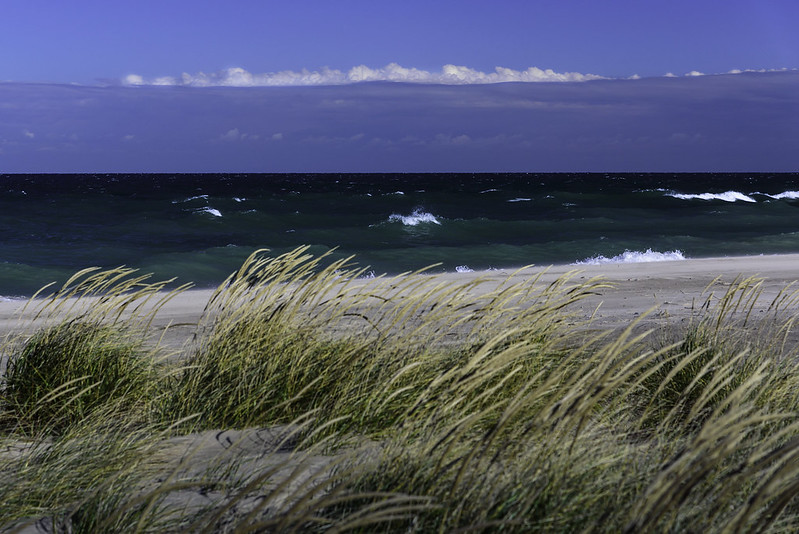
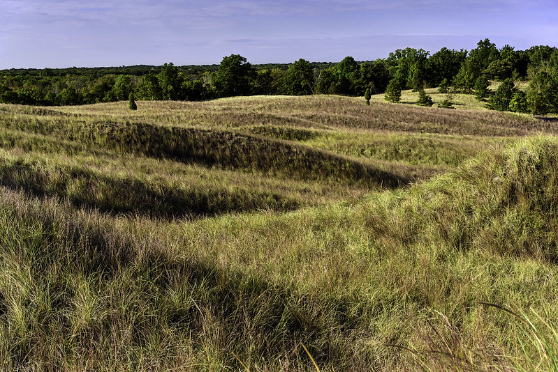
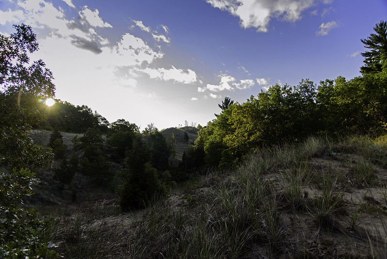
The winter season makes it easier to see distant objects and formations while atop the dune ridge; the lack of leaves makes this possible. We looked back at the trail winding from dune to dune and the woods and blowouts in the distance, and noticed a pair of A10 Warthogs flying just above the beach. They flew north then about 30 minutes later, we saw them again. This time, we were at the top of a blowout, an open area on the dune. We waived and were surprised the pilot of the second craft tipped his wing toward us as an acknowledgment. Too bad I didn't have my telephoto lens on my camera body, I could have had a few photos of the crew.

A Hike on the Ridge


Nachusa Buttes

Stone Barn Butte

Rounding the corner of the trail next to this sandstone butte, more of the bluff can be seen, and the ever eroding stone stands out prominently against the brown grass of the savanna. While hiking in the summer, we saw these rock formations through the trees, but they were often obstructed by the leaves. This seems to be one of the best times to view the rock formations, we saw some bluffs we never noticed in the summer.

Stone Overhang

Walking closer to the stone bluff, we took time to look over all the details of the rocks and what the weather created out of them as they eroded. Looking from underneath, what little snow that fell onto the stone over the past day or two began to melt, but froze again once it hit the cold air. Small icicles trimmed the edge of the bluffs, reminding us it was the winter season.

From the Butte

Once we found a safe way to the top of the bluff (walking up the grassy hill behind), we were able to look over the landscape and view the woods we walked through on our way through the Stone Barn Savanna.

Stone Barn Savanna Buttes

Sandstone Remnant

One of the most interesting features of the Stone Barn Savanna are the sandstone buttes and cliffs that seem to rise out of nowhere. These are a typical geologic feature of this region of Illinois, yet there are only a handful of nature parks where these can be seen.  Fewer still, are places you can get up close to them to inspect and study them. Nachusa Grassland allows visitors to explore off the trails providing they don't climb the rocks.

This formation is one of the few freestanding buttes in the area, and it's easy enough to investigate up close. The layers and colors in the rock are quite captivating, and change with every turn of the head. This butte is on the edge of a flat clearing, making it a dividing feature between the hilly and flat areas of the park.

Sandstone Detail

Additional sandstone cliffs dot the Stone Barn Savanna, some tall, some relatively short and crumbling, but all interesting to explore. We were able to walk up the grassy hills on the backsides of some, following animal trails through the prickly prairie roses. Careful to stay off of the rock, we were able to view vast areas of the woods and nearby grasslands.

Disintegrating Bluff

Exploring the Bluffs of the Stone Barn Savanna

Sandstone Bluffs

Part of the 3,600 acre Nachusa Grasslands, a large, successful restored prairie project in north central Illinois, the Stone Barn Savanna offers a hike through wooded bluffs and rolling hills. Sandstone bluffs appear suddenly from the landscape, some free standing, others are one end of large, grass and wooded hills.

Visitors to Nachusa are encouraged to explore the land. Mowed grass trails can easily be followed, but hiking off trail is allowed as well, providing you don't climb the fragile sandstone, these can break easily causing damage to the formation as well as injury or death to the climber.

We followed the trails to places of interest, then carefully explored these areas off trail. This was not always easy as the landscape is rolling, and filled with prairie roses  and other barbed plants. Don't wear shorts here!

Exploring the Sandstone Cliffs

Sometimes these bluffs aren't easily noticeable because they are covered in soil, grass, and trees. This allowed us to safely explore the tops of some bluffs, and walk the ridges.

Some evidence of wildlife was found on the tops of the bluffs, including well worn animal trails, and animal scat near small crevasses in the rock. At one point we discovered a trail camera pointed at a particular opening in the rock; I'm curious as to what they find.

 Ridge of the Bluff

It's refreshing to find a nature preserve that allows visitors to explore everywhere on their own. The access areas and parking areas are small, so not too many visitors can hike at once, but this is probably a good thing - it keeps the area pristine, quiet, and free of crowds.

Horizon

The Horizon

The clouds never moved away during our hike through the trails of Van Buren State Park in southwest Michigan. The horizon was sometimes indistinguishable over Lake Michigan, creating an eerie view from the rolling dunes, and at times giving us no point of reference.

From the top of the dune, we could see the South Haven lighthouse on the distant horizon. The park is approximately five miles south of the lighthouse, and we were surprised we could see it on this type of day.

A Hole in the Sky

For just a few moments, a small hole in the clouds appeared, as we were walking south. The trees on top of the dune were silhouetted against the bright spot in the sky. The threat of rain subsided a bit, allowing us to plan for some additional miles of hiking at Van Buren State Park, and later at Grand Mere State Park, where we would see if we could spot the famous black bear seen near the park last year.

Crumbling Dunes

Crumbling Dunes

Warm for a late December morning -almost 46 degrees - and very calm along the beaches of southern Lake Michigan, make my annual first day of vacation hike to the lake very comfortable. Usually I photograph the ice build up on the lighthouses of the area, but this year it was too warm for such things.

Lake Michigan built the dunes along the shore over the past few thousand years, and now as part of the natural process, she is reclaiming part of them. Wave action hits the dunes and undercuts them, causing small sand slides. When these happen frequently enough, the side of the dune falls to the beach, bringing with it whatever is growing on top. Entire mature trees can be found uprooted laying on the beach. In this area, there were dozens of trees littering the beach.

Beach Erratics

In addition to trees and plants, I've seen parts of old buildings exposed and laying on the beach after this type of erosion, kind of an opening of a time capsule. Some of the logs exposed look almost petrified, taking on the minerals of the sand that surrounded them for hundreds or thousands of years.

This particular dune was hiding a 5 or 6 foot long boulder. While not up on the dune, this was most likely pushed to this spot by the glaciers that created the Great Lakes. It was then buried by the blowing sands under the dune. Recent erosion exposed it - just another glacial erratic in the midwest.

Reclaiming the Dunes

The beach has narrowed quite a bit, to the point where the waves constantly hit the dunes, and visitors will certainly get their feet wet when it's windy. There's not much if anything people can do to stop the erosion, we'll just have to realize that nature changes and we need to adapt to those changes.

Orland Wetland

Orland Wetland

Once farmland, probably destined to become housing subdivisions in the Cook County housing boom of the early 1990's, these 960 acres between Orland Park and Mokena, Illinois were saved by local nature lovers. Set aside to prevent development, this grassland is also one of Illinois' newest restored prairies.

The grassland has over six miles of paved and grass trails for visitors to enjoy. In the Spring and Summer, the grass trails are off limits in an attempt to save ground nesting birds, but in the colder months, these trails provide a great way to reach the inner portions of the grassland.

The grassland is in the path of numerous migrating birds, offering birdwatchers a chance at viewing plenty of species.

Frozen Pond

The grass trails have begun to freeze, so we didn't sink into the soft mud as we meandered through the inner grassland. The shallow ponds in the lower areas of the prairie have also begun to freeze, a sure sign winter is on the way.

More Fall Color

The Autumn CabinThe day started out sunny, perfect for enjoying the rich colors of autumn. As the morning progressed, clouds blocked the sun, making the fall colors a bit muted and muddy, but the extra vivid colors still came through. A small log cabin on the edge of the woods is a welcome site after a long hike. Lighting a fire in the fire pit in front of the cabin, or in a fireplace inside would make this the perfect retreat for a cool autumn day. Little Calumet RiverJust a few yards away from the cabin is the Little Calumet River. This lazy river cuts through the old, wooded dunes of the area, and is a great place to watch for waterbirds and aquatic life. For years the kids have enjoyed walking out over the water on the downed trees fishing or just enjoying their surroundings. I'm sure by now the leaves are gone, and the area has been dusted by more than a couple of snowfalls. In another couple of weeks, the river itself will begin to freeze, creating an entirely new look to this area.

The Beginning of the Ice Season

The Ice Begins A short side trip to the St. Joseph, Michigan lighthouse on a cold, windy morning revealed a tiny bit of ice beginning to form on the lighthouse and the catwalk. Not dramatic yet, if this weather continues for a few days, the entire lighthouse could be covered in ice. Generally the ice begins to form in mid to late December, right before Christmas, but this year it's starting early. The weather probably won't be cold or windy enough yet to produce anything nearly as dramatic as past winters, but one never knows- two years ago, the ice formed a week before Thanksgiving. Breaking Waves Along with the cold and wind came the gloomy overcast sky, making the images rather blue and cold. As we headed over the dunes toward the lake, we encountered two men in a makeshift shelter. Probably birdwatchers or photographers, the shelter blocked much of the wind keeping them a bit warmer than us. In addition, the shelter could have acted as a blind, making them invisible to the migrating birds. Each year I've visited this lighthouse a week before Christmas to gauge the ice forming, and every year without fail, I've run into Tim, a birdwatcher set up on the pier. He keeps track of the species of birds migrating through the area, and we talk a bit about the lake, lighthouse, and natural parks in the area. I'm sure in a few weeks when I head back, I'll run into Tim once again, making this the 7th or 8th year in a row we've run into each other on the lighthouse pier on a brisk, winter morning.

Autumn in the Golden Woods of Indiana

Beneath the Golden Maples Hiking through the woods during peak fall color is something one can only experience once a year. High winds or rain often strip the trees of their leaves before anyone can enjoy them. The winds and rain came the very next day, but even during our hike, clouds blocked the sun, eliminating many of the colors that pop when the sun is shining. This particular section of woods is filled with maple trees, once used by the Chellberg Farm as a source of sweet maple sugar. Each March, the National Lakeshore opens the area for tours and demonstrations of the process of making maple sugar. Seeing these woods in spring, summer, winter, and fall completes the tours and demonstrations for me; things change so much from month to month. Autumn Landscape The land here is mostly flat, until we reach the area known as the sugarbush - the woods with the trees used for maple sugar. As we enter these woods, the land turns hilly, with a few creeks running through. It's difficult to determine if the land is hilly due to the glaciers or sand dunes, or if the creek cut the gullies over time; it's probably a combination of the two. Either way, the rolling landscape makes for an interesting hike especially in the autumn during peak color.

HIke Through the Golden Sugarbush

Fall in the Sugarbush We generally visit the sugarbush during Maple Sugar times in March, when sap is collected to produce maple sugar. At that time in the spring, the trees don't yet have leaves. Autumn is a great time to visit the woods of the Chellberg Farm, where the maple sugarbush is located. The leaves of the maple trees are a bright yellow color, turning the woods gold in the morning sunlight. Golden Woods In addition to the color in the trees, the leaves littering the ground turn the forest floor into a colorful carpet. While sometimes a bit slippery, the carpet of leaves blurs the line between the ground and the trees. This year's fall color seems to be a bit later than usual, but in places such as the Indiana Dunes National Park, the show was well worth the wait.

Windy Morning

Windy Morning A sure sign of Fall, high winds on Lake Michigan. While not unusual on the Great Lakes - I've seen days with MUCH more wind than this - the more unique thing about this day was the approaching cold front seen on the horizon. It moved in very slowly even though the winds at this time were around 30 miles per hour. What was supposed to be a wash-out turned out to be okay for the first few hours of the day. Curling As we arrived at the beach, the winds were coming in right off the water, and the waves followed that pattern of wind. After a while, we noticed the wind changed direction almost 90 degrees, and was moving from the left to right relative to the shore. If you look closely at the photo above, you'll noticed a rippled texture in the water from the wind moving across the waves instead of pushing them. The waves even crashed differently, and almost seemed to die out right after breaking because the wind pushed them so powerfully from left to right. With November approaching, so are the gale force winds common to the Great Lakes in the Fall. Waves topping 10 feet are not uncommon along the Indiana Dunes, and I hope to experience them again soon.

Sun and Shadows

Sun and Shadow My visits to the Indiana Dunes National Lakeshore usually begin in the mornings, but generally mid mornings. On occasion, I venture out before sunrise and begin hiking to catch the highlights and shadows the rising sun makes on the contours of the dunes. These high contrast shadows are fleeting, so I enjoy running up and down the rolling dunes to capture them before they change or disappear. They not only change by the minute, they also change by the week. The position of the sun changes through the seasons, changing the shadows as every day passes - making every visit unique. Morning Dune Around every turn of the trail, new vistas open up, and at different times of the day, they appear so distinct. I've encountered this small dune countless times, but on this day, at this time, it was totally new to me.

Wide Open Dunescape

Rolling Hills

Continuing an early morning hike, we came upon an opening in the woods leading to a vast open area of rolling, grassy dune. These openings are common in this area, and illustrate the progression of the dunes, or the stages in which they are formed. The dunes range from beach, to grass, to savanna, conifer forest, then oak savanna. These stages are all found at the Indiana Dunes National Lakeshore, and in some places, all within a mile hike.

Opening Up

Not our first time here, we encountered some familiar features such as particular trees we used to climb and rest upon. These trees were at one time destinations for our hikes, as we noticed them from far away and set out to find a way to reach them.  The children grew up exploring these areas on weekends, so these special places bring back memories, and also allow us to see how they've changed over time.

Wide Open

These hikes take quite a while, and not only include trekking through loose sand trails up and down the rolling hills, they also include a relatively long, easy hike on the shore of Lake Michigan.

Morning Dunes

Morning Panorama

Following our hike to view the sunrise, we headed down the shore of Lake Michigan about two miles, searching for fossils on the beach, until we arrived at a large blowout in the dunes. This was the perfect location to begin our hike into the rolling dunes.

The sounds of crashing waves faded into the distance as we headed inland along the trail through the wooded dunes. After a bit of winding trails, we arrived at the first large expanse of open dunes, illuminated by the rising sun. Lake Michigan was still in view from this vantage point, as the trail stayed relatively close to the shore.

Trail Beginning

At times, when hiking the valleys between dunes, nothing beyond the grassy dunes is in view, making you feel as if you are hundreds of miles away from civilization, when in fact, you're only about two miles from the parking area, and 5 miles from Michigan City, Indiana, a relatively large city.

The trails here wind around for miles and miles, but this is our favorite trail, almost every type of dune landscape can be experienced here in just a few miles.

First Light

Moments Before Sunrise
Leaving home well before sunrise, we were able to drive to the Indiana Dunes National Lakeshore, and get in some hiking before the sun came up.  Hiking about a mile from our car, the sun finally began to illuminate the tops of the clouds, then a few moments later, the sky became a bit brighter until our surroundings were visible.

First Light

The first part of our hike was through the wooded trails up and around a rather large dune. The sky was bright enough to differentiate from the trees, but the trails were still quite dark - especially in the dense woods. My hopes were to capture the sun as it broke the horizon, but the view from the top of the dune was blocked by a number of trees, so we hiked the half mile to the beach.

Once again, we had the entire beach to ourselves for the first hour or two. After the sunrise, we continued and explored the wooded dunes and grassy dunes on a particular trail we've come to enjoy.

Fall Creek Gorge Waterfall

The Waterfall of Fall Creek Gorge Visiting the potholes of Fall Creek Gorge, we explored a bit more of the preserve, following a narrow trail upstream until we heard the sound of falling water. We came upon a waterfall that seemed to be carved into a perfect stone wall - almost as if it was man-made. The rock here, changes level abruptly, and evenly, giving this natural waterfall the look of a stone dam. Looking Downstream Stopping on the "dam" of rock following a bit of exploration, gave us the perfect view downstream toward the popular potholes of the gorge, and a bit of time to take in our surroundings. This very small preserve isn't too well known, so running into other visitors is unlikely - we had the place to ourselves, and enjoyed hearing only the sounds of nature. Exploring Fall Creek Gorge The potholes were only about 100 meters downstream, but with our camera gear, it's all but impossible to walk back through them, plus, it's not allowed. But we did explore a bit more of the creek.

The Potholes of Fall Creek Gorge

Potholes When one thinks of potholes, damaged city streets come to mind, but the potholes of Fall Creek Gorge are far from any urban area, and actually a welcome sight. Found along the narrow canyon formed by Fall Creek, these round holes in the creek bed were formed long ago as water pushed rocks around small depressions in the rock. Over time, the eroding action of the water and stones created these potholes. Each pothole is around 4 feet in diameter, and around 3 feet deep, making a series of small pools perfect for relaxing in - just like a personal spa. And on previous visits, I've encountered people lounging in them. The Potholes Beneath Fall Creek The most interesting potholes are along the narrow gorge, where the elevation changes, creating a series of interesting waterfalls. But the formations are more easily seen along the level stretch of creek just downstream of the falls. It's a good thing the water is clear, walking through this area could result in stepping into one of the potholes, a change in water depth from 3 inches to 3 feet or more. Cascades The small waterfalls provide seemingly endless photographic opportunities, but I found myself, as usual, stepping back to take in the surroundings for a while. There aren't too many environments like this in the Midwest, or anywhere for that matter. Exploring Fall Creek Gorge Fall Creek Gorge is a bit out of the way, and certainly off the grid. There are no signs guiding you to this preserve, and the only access is a small parking area, suitable for three or four cars. Once the parking area is full, visitors are asked to come again some other time, as too many people can damage the area. Volunteers keep the gorge clean, and also make sure visitors are obeying the rules outlined on a small sign at the trail head.

Green Canyon

Green Canyon A seemingly less traveled trail at Turkey Run State Park is trail 6, a rather short hike through a deep canyon. Most visitors wish to see the popular trails and waterfalls found on the other side of Sugar Creek, but after hiking those trails, we decided to explore this short trail. This canyon is a bit wider and deeper than those of trail 3, and even more wooded overhead, giving it the feel of a rain forest. Walking down this quick trail gives visitors the an idea of this part of the country before the last ice age. The sandstone here was deposited about 600 million years ago, then worn away by the rushing waters of the creeks and streams of the area. Deep Canyon

Exploring Wedge Rock

Passing Wedge Rock Just two and a half hours south of Chicago, Turkey Run State Park is a short trip to the ancient geologic world. Featuring rock dating back up to 600 million years, the natural features of the park entice visitors year round. Many of the trails in the park follow creeks and canyon floors, taking hikers through natural wonders not seen elsewhere in the region. Wedge Rock One of the most recognized features in the park is Wedge Rock, a wedge-shaped rock that broke away from the canyon wall a long time ago. At an estimated 30 feet tall, and six feet thick, this must have made quite a sound when it fell to the canyon floor. Because the rock landed on an angle, hikers are able to walk under it as well as climb on top of it. Posing on top is a popular take-away photo of many visitors. The Backside of Wedge Rock Most of the canyon walls of Trail 3 are composed of Mansfield Sandstone, but some other rocks and minerals can be found in the area, including glacial erratics and veins of coal. The trail follows the winding creek and even requires hikers to walk up a waterfall or two. It's refreshing in this day and age to visit a park where you're not discouraged from walking on the actual ground! Certainly worth the trip down to Parke County.